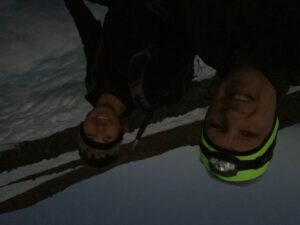
This is my 4th adventure climbing 12,280 foot tall Mount Adams in the southwest area of Washington State in the Cascade Mountain Range. It was a great climb and the weather could not have been better! I had a friend along from work, we’ve known each other for over a dozen years. My wife was not too excited about me doing a solo climb so I put out an offer for interested parties and Corey decided to make his first Mount Adams climb!
This is a very unique year as the Covid Pandemic is affecting pretty much everything we do and the Mount Adams climb was no exception. This year, we had to get our climbing permit online (easily done) and you had to pick up your human waste bags (blue bags) at the trailhead (also, the disposal bins were closed, you have to haul the waste back to civilization). We set out on August 25 at about 7 a.m. from my house and headed for the trailhead. We got to the trailhead in about 3 hours at Cold Springs Campground above Trout Lake (pit toilets, no water). We ate our lunch and hit the trail around 11:30. My previous climbs were with less experienced companions and larger groups, with just me and Corey, I was hoping to get to our camp site at Lunch Counter in about 3 hours. We locked up the truck, strapped on our packs and started hiking up the trail. It was beautiful weather, not too warm but we soon were building up body heat with our physical exertion and carrying the extra weight. We looked for shady spots along the way.
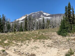
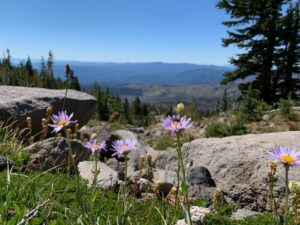
We started gaining in elevation and then started enjoying the higher altitude, rewarded by a view of Mt. Hood to the south in Oregon. We kept climbing and soon got glimpses of Mt. St. Helens. I told Corey we would be crossing a creek on our way up to a ridge that would lead us to a snow field (Crescent Glacier), but the creek was not flowing.
There was so much snow melted that there wasn’t a lot left to fill the normal run of Morrison Creek. I imagine that later in the day, there may be some runoff flow but we crossed around noon and there was none. Fortunately, we each had at least 2 liters of water and that was enough to get us to Lunch Counter. We headed up the Morrison Creek valley on various, improvised, steep, and rocky trails with a constant climb. Then, we got to a crossover where we followed a trail up to the ridge line on the northwest side of the valley.
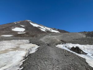
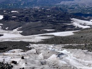
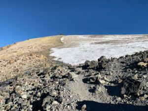
Continuing up that ridge, we passed several camping sites made of rock rings as shelter from the predominant westerly winds. We arrived at the base of Crescent Glacier and strapped on our microspikes. I had used crampons on my previous climbs so I wasn’t so sure how microspikes would work. Since we were midday by then, the snow was pretty slushy and I wish I had my crampons instead but the microspikes worked, just a little slippery. I also put on my gators so the snow I kicked up wouldn’t get into the tops of my boots. There was plenty of runoff we could hear beneath us as we climbed, underneath the ice. I was hoping I wouldn’t break through the ice into a hidden runoff creek, turned out this was not a problem.
We got above Crescent Glacier and were back on terra firma and took off the microspikes.
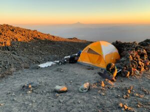
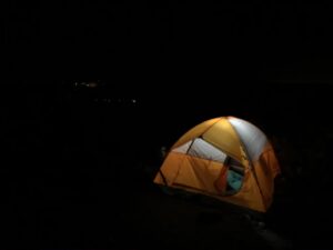
We went a ways further and picked out a ring of rocks for our tent at Lunch Counter.
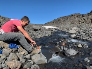
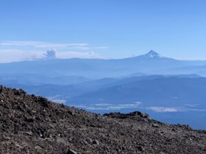
We set up the tent got some water, rinsed off our feet (this was a very quick rinse as the water was near freezing!), then I laid in the tent for a quick rest.We got back up as the day was winding down, we admired the views of Mt. Hood, Mt. Jefferson (over Hood’s shoulder) and Mt. St. Helens.
As I looked at Mt. Hood, there was a large plume of smoke to the southeast of Mt. Hood that was a forest fire. I found out later that, tragically, a firefighting helicopter had crashed fighting the fire.
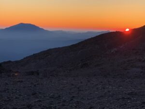
We relaxed and watched the sunset and kept putting on more and more layers as the temperature dropped. I got a new JetBoil cooking stove that heated up our water quickly and we made our dinners and enjoyed them.
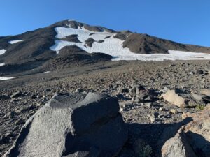
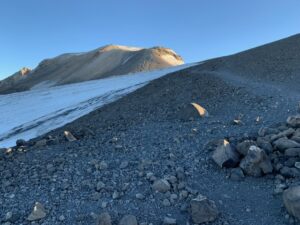
Looking up at the next day’s climb up the mountain, I couldn’t help but notice how little snow there was. The temperature dipped into the low 40s and, as we started climbing the next morning, it was clear that it had frozen, which was good for the grip of the microspikes.
We got up on August 26 at 4 a.m. and packed up our sleeping bags and pads and shed some weight to leave in the tent while we went to the summit. We heated up some more water and then, headed out in the dark.
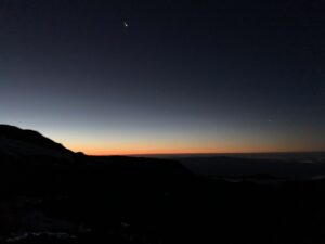
The stars were amazing. As I awoke, I saw a light through the tent door and figured it was the sun starting to light up the sky but, it was actually a bright star (or planet) shining in.
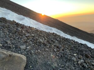
We hiked across the rocks to the edge of the glacier and got on our microspikes and started climbing. We could see a few people with headlights already starting the climb. We hiked up the steep incline in the dark and watched as the sun glowed over the edge of the mountain to the east.
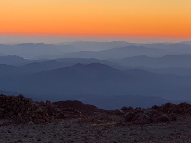
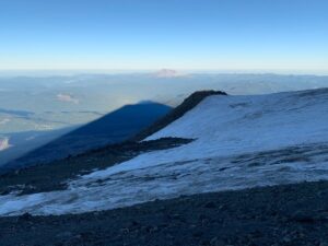
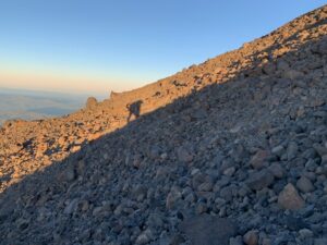
As the sun came up, it cast a huge shadow of the mountain on the surrounding Gifford Pinchot National Forest with Mt. St. Helens nearby.
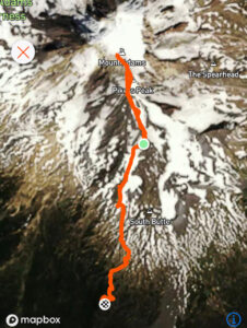
I did a zig-zag path across the steepest area of the glacier and came back to the rocks on the south where we climbed up to Piker’s Peak on rocks (the false summit).
I had always been on snow up to Piker’s Peak on previous climbs, but, like I said, there was much less snow this year than previously. I had my ice ax out and used it as a climbing aid, I was wishing I had brought my trekking poles, probably next time.
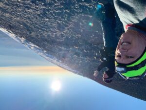
We got to Piker’s Peak as the sun rose and we started shedding layers.
There was a dad and his 17 year old son from Portland ahead of us.
We went across the snow field to make the final summit push and started up the zig-zags of gravel. We passed the dad and his son on this part of the climb and, before we knew it, we were hiking up the final graveled area to the top!
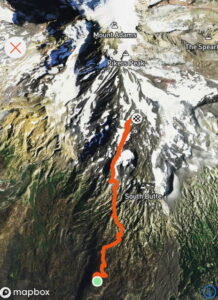
It took about 2 and 3/4 hours to get to the top from our camp site at Lunch Counter, it was 3000 feet elevation gain in about 2 miles.
The top was beautiful.
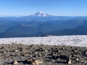
Mt. Rainier was right in front of us and there were 4 other peaks, Mt. Hood, Mt. Jefferson, Mt. Baker and another peak to the north.
We saw one pair of ladies coming back down as we neared the top. As we got to the top the dad and his son arrived about 20 minutes later.
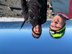
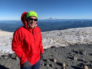
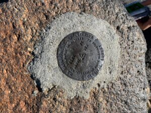
We took some pictures and walked over to the geologic marker and put a few layers back on as it was chilly and windy up top.
We headed back down from the top and actually got some glissading in. There were some steep spots that were a little scary but it went pretty well and
Fortunately, I didn’t have to use my blue bag during the hike but, I was ready for the pit toilet as soon as I got back to the trailhead. It is interesting that, as you hike back out to the trailhead, the last mile or so of trail seems to go on FOREVER! But, we got back okay and packed up and hit the road to The Dalles for a quick food stop then back home. The legs were a little stiff at our food break but they felt pretty good the next day! Thanks to Corey for pushing me and pulling me along on this awesome adventure!


