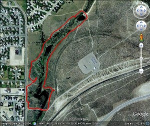
■Mileage: 1.7 miles round-trip, variable
■Difficulty: Easy
◾Elevation: Gentle slopes, no significant elevation gain mainly around 560 feet above sea level
◾Warning: Rattlesnakes have been spotted on this trail during warm, summer months.
Warning: Standing and running water, use caution with children.
View Amon Creek Trailhead in a larger map
Controversy At Amon Creek blog posting
Lots of Wildlife at Amon Creek blog posting
To get to the trailhead of this Amon Creek hike, take the Columbia Park Trail exit off Highway 240 near the Richland Wye. Head west about 3/4 of a mile to Leslie Road and turn south. Continue on Leslie Road, through the signal light at Gagle Blvd. 2.75 miles to a dirt turn-off on the left and park at the trailhead. You can also get here from Kennewick by going west on Clearwater to Leslie Road. Turn right and go 1/2 mile to the trailhead turnoff. You can also get there from I-82 by taking the Badger Canyon Exit, go north on Clearwater to the signal light (Leslie Rd.). Turn left and go 1/2 mile to trailhead.
This is another hidden gem in the Tri-Cities that thousands of people drive by every day without knowing what they are missing. Amon Creek and the Amon Basin area has a long history in our area.
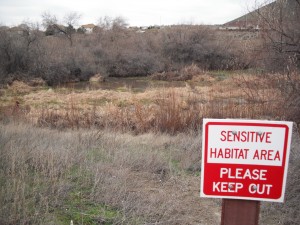
Over the years, it has been used by motorcyclists and off-road vehicles for enjoyment. Some old-timers probably remember names like Bear Falls or Beer Falls. Well, the Tapteal Greenway Association has done a nice job of taming the motorized use, allowing some protection for the natural habitat and an opportunity for a nice hike, just on the edge of town.
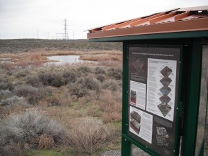
As you park at the trailhead near the yellow gate, I recommend you take a clockwise route around the waterway (see the bottom of post if you want to do the counter-clockwise route). You will find the trail access along the short road to the gate on the north side with a small sign. Follow the trail through the brush and it will wind up to the kiosk.
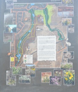
From the Tapteal Greenway Association Kiosk: Rivers, streams and their surrounding areas provide critical natural habitat, water, and protective cover for fish and wildlife and their movements from one area to another.
Amon Creek and the surrounding area provide the only natural connection between the basalt ridges bordering the Tri-Cities and the and the three rivers that join in the immediate area. As such, it is a crucial corrider allowing for the movement of wildlife from the surrounding desert to the rivers.
The Yakima River and wathershed is recognized as one of the most diverse, scenic, and biologically productive systems in the Pacific Northwest. The wetlands on the west fork of Amon Creek have been identified as the highest rated “value” wetlands in southeastern Washington – as such, it is able to support a great diversity of wildlife.
The Environmental Protection Agency (EPA) has elevated the status of the Columbia River basin to that of one of our nation’s great water bodies – joining Chesapeake Bay, Great Lakes, Gulf of Mexico, Puget Sound, Long Island Sound, and South Florida Ecosystem. The overall ecological health of a large water body depends on the health of its tributaries and respective watersheds.
Preserving the ecological health of the Amon Basin is not only important on a local scale, but a vital connection to the overall health of the entire Columbia River basin.
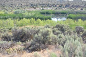
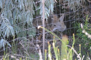
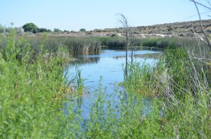
You’ll have to walk along the sidewalk on the road over a small gulley then head back toward the wetland and you’ll pick up a graveled roadway (the road is barricaded so there is no motorized traffic). Follow this graveled road and watch for wildlife along the way. At about 3/4 of a mile, you’ll come to a Kennewick Irrigation District holding pond. Along the creek until you reach a small pond. Make sure you watch for evidence of beaver dams as you see the chopped down saplings in this picture.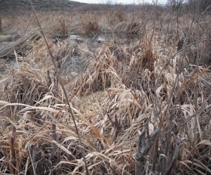
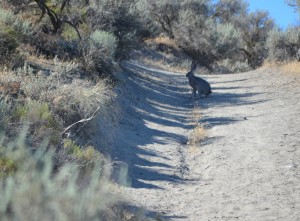
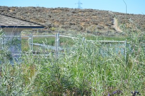
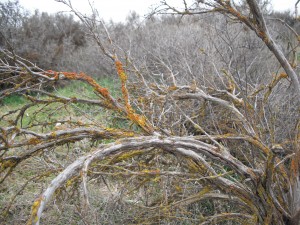
At this point, follow the graveled road to the east side of the waterway. Walk along the trail that skirts the fenced in pond. As you continue on the trail, stay to the right, close to the waterway. Watch for jackrabbits and other wildlife. cross the creek to the east side where you can pick up the trail. You’ll see old-growth sagebrush with beautiful colorings from lichens on the bark.
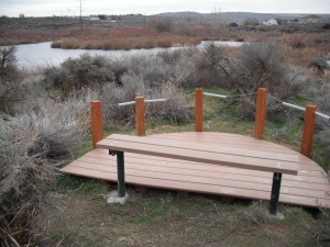
Along the east side of the creek are a couple of nice pit-stops with benches for taking in the beautiful views.
As you wander around the creek and beaver-built ponds, watch for various wildlife as listed on the kiosk: 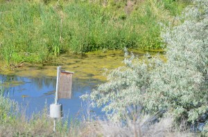 Gross-winged Teal, Beaver, Cottontail Rabbit, Redwinged Blackbird, Black-Tailed Jackrabbit, Mallards, Wigeons and other waterfowl. There’s plenty of plant-life to try and identify: Green Rabbitbrush, Cushion Daisy, Tarweed Fiddleneck, Longleaf Phlox, Balsam Arrowroot, Sand Penstemon, Desert Parsley, Hardstem Bullrush, Western Sage, Hopsage, Sage, Munro’s Globemallow, Sanddune Wallflower and much, much more. Spend some time at the kiosk as it has some fascinating information about the area’s geology and importance to native species.
 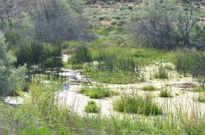 This is a nice hike with the little extra touches. One note, there is quite a controversy in this area right now as development encroaches into the Amon Creek area. If you’d like more information, you can visit the Tapteal Greenway Association’s web site.
Counter-clockwise route
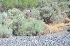
If you’d prefer the opposite direction for this hike, go around the yellow gate and go about 100 paces up the graveled road. On your left, you’ll see a small trail sign (see picture below).
Follow the trail to the left of this sign. As the trail winds through the brush, stay to the left. This will keep you fairly close to the waterway. You’ll pass the benches where you can sit and enjoy the scenery. Continue to the KID holding pond with a small outbuilding, turn left to go west to the graveled road. Turn left and continue along the graveled road. This will take you back to the concrete barricades at Leslie Road. Walk along the sidewalk until you see the kiosk. Walk up the knoll to the kiosk then follow the trail back down to the parking area.


