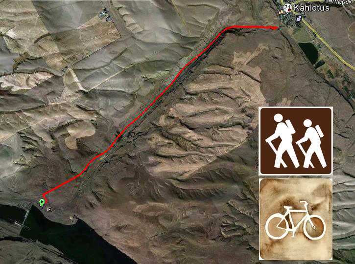
- One-Way mileage: 6 miles
- Difficulty: Difficult (I rated this difficult because of steep access to trail and trail with large railroad rock)
- Elevation: Start 390 feet, Total Ascent 950 feet
- Flashlight recommended for Railroad Tunnels
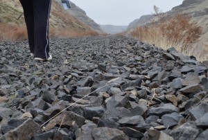
- Sturdy footwear recommended for rocky trail (old railroad ballast)
- Warning: Rattlesnakes have been spotted on this trail during warm, summer months.
You Can read more on this hike from my blog post: Hike and Bike Excursion in Devil’s Canyon
Directions to Trailhead: From the Tri-Cities, head east on Highway 12 from Pasco. Take the Kahlotus exit which will put you on the Pasco-Kahlotus highway going north. Go 40 miles and turn right on Highway 263 at the sign for Windust Park and Lower Monumental Dam (not Burr Canyon Road). If you go into the town of Kahlotus, you’ve gone too far. Go 5 miles down Highway 263, you are driving through Devil’s Canyon. Stop at a small turnout on the left, park and go across the highway to a dirt road that leads up the hill to the old Burlington Northern railroad grade, that is the trail (part of the Columbia Plateau Trail).
This is a great hike that I’m sure will be enjoyed by many. This one comes from Bruce Bjornstad’s great book, On the Trail of the Ice Age Floods: A Geological Field Guide to the Mid-Columbia.
 This hike is full of examples of the geological formation of our area. Devil’s Canyon is one result of the cataclysmic ice age floods that helped form the channeled scablands of Eastern Washington and beyond.
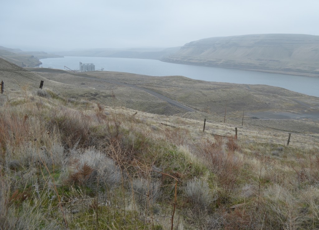
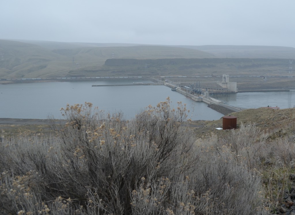
As you reach the railroad trail, make sure you stop and take a look at the great view up and down the Snake River and Lower Monumental Dam.
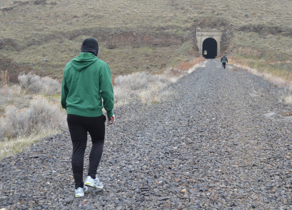
This hike starts right away with a fun walk through an early 20th century railroad tunnel.
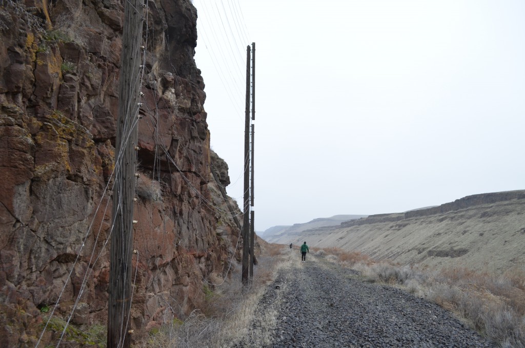
Built in 1917 for the old Spokane, Portland and Seattle Railroad (predecessor of the Burlington Northern Railroad), it has since been retired and the tracks and ties have been removed to make this trail. One drawback; the trail is the old ballast (large, sharp railroad rocks). This ballast is hard on the feet and hikers should come prepared with sturdy hiking boots or shoes.
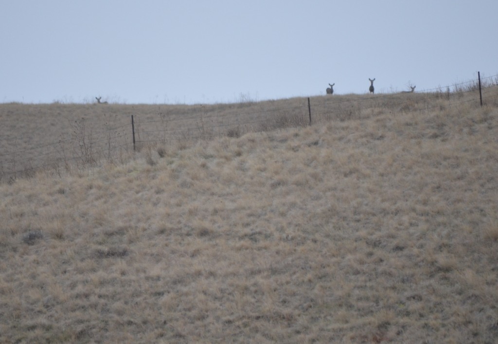
Be on the lookout for wildlife. We saw several deer and coyotes keeping their eye on us as we hiked.
The first tunnel is about a half mile long and gets quite dark so bring a flashlight. You may want a light jacket during warm weather as it can be cool in the tunnel year round. As you emerge from the tunnel, you can look back toward the Snake River and see some of the geologic formations from the scouring of the floods that rushed through and created this canyon 10,000 years ago.
You’ll probably be watching your step as the rocky trail is quite uneven but make sure you stop frequently to take in the surroundings.
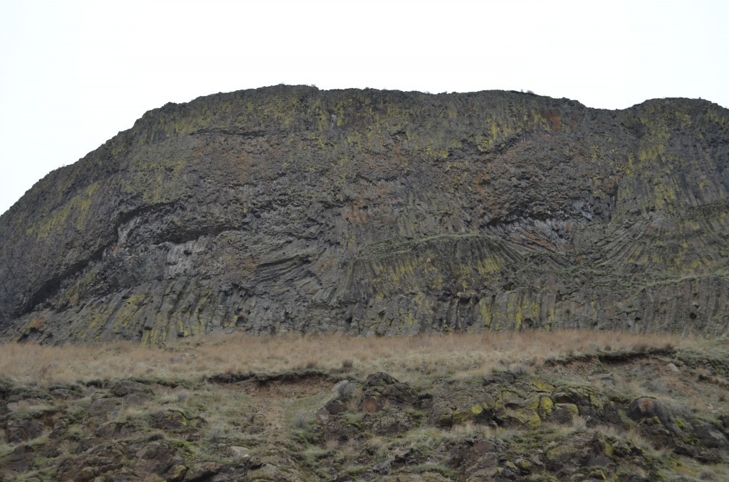
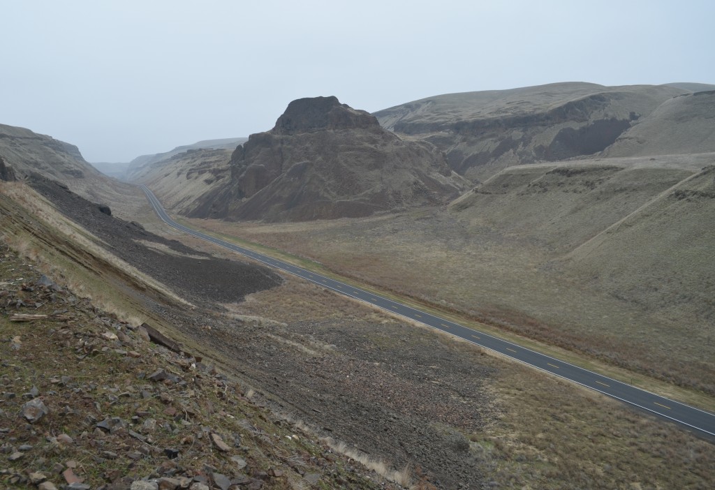
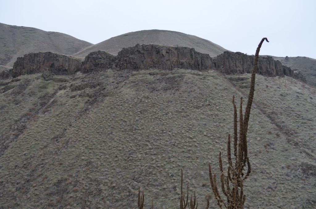
As you continue west on the trail, you’ll see fabulous twisted examples of columnar basalt from ancient lava flows in the area. As you look west you’ll see the huge Devil’s Monument on the right side (north) of the canyon.
Geologist Bruce Bjornstad gives us a great synopsis on this formation in Ice Age Floods:
Long before the Ice Age floods, between 10.5 and 15.3 million years ago, the ancestral Salmon-Clearwater River flowed here. This is inferred based on a deep, narrow channel exposed in the steep rock wall directly across the valley. Based on the work of Don Swanson and other geologists, the entire channel is cut into basalt of the Frenchman Springs Member. (Basalt members are groupings of basalt flows with similar physical and chemical properties, erupted at about the same time.) Filling the channel are flows from the progressively younger Esquatzel, Pomona and Elephant Mountain members. After the Elephant Mountain Member finally filled the paleochannel, about 10.5 million years ago, the ancestral Salmon-Clearwater River was permanently diverted southward to flow near where the snake River flows today.
If you look closely at Devil’s Monument, you can see the distinct boundaries between the different basalt flows.
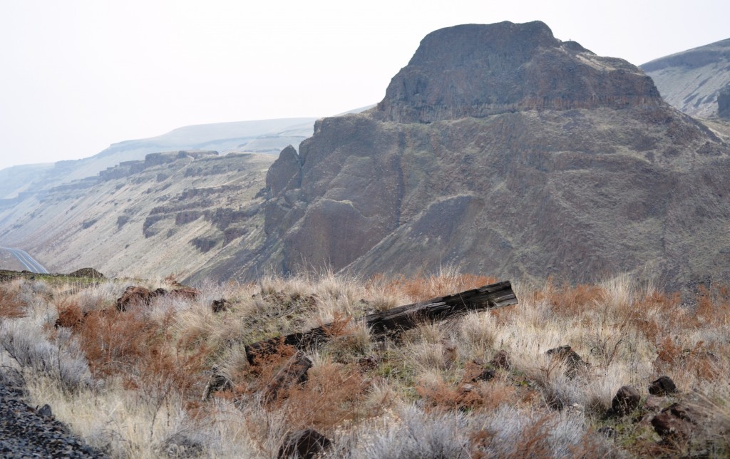
Devil’s Monument with distinct Elephant Mountain Basalt Flow on the top from about 10.5 million years ago
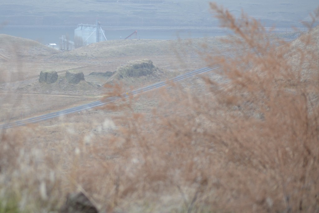
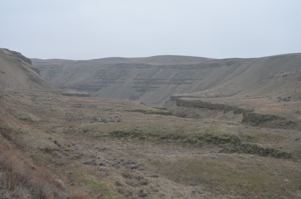
The trail continues along the south side of the canyon with views of the parallel highway below. The canyon is nearly straight almost all the way to the top with great views of the creative work of the floods that scoured through this area.
As you hike this old train track trail, you’ll see remnants of the old railroad infrastructure. There are old pole and wire rock barriers, railroad spikes, and miscellaneous metal parts and pieces.
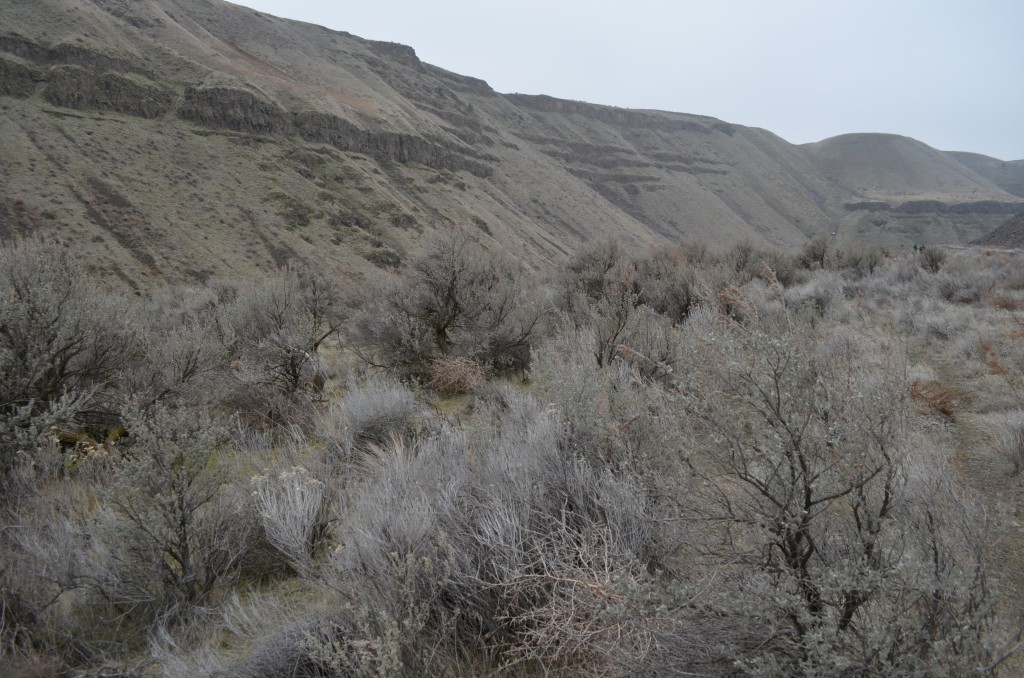
Around 4.7 miles into this hike, you’ll have a nice break where you can get off the ballast and on a dirt trail along the railroad bed with fragrant, scattered sagebrush as you come to the top of the canyon.
You’ll see some amazing hanging spillways on the opposite side of the canyon as you reach the top.
Then, you’ll see the second tunnel ahead of you, its about the same length as the first tunnel. You can go through and go a few hundred feet to an easy turnaround point or plan some shuttle vehicles to leave at this point for pickup. Make sure you slow down as you’re entering the canyon on your drive down as there is a great example of a steep cataract where you can imagine a huge waterfall many, many years ago.
This would make a great day hike for a scout group or family. Get a copy of Bruce Bjornstad’s book if you really want to learn more about the geology of our area and how natural masterpieces like this were formed.


