- Round-trip mileage: 2 miles
- Difficulty: Difficult
- Elevation: Start 762 feet, Summit: 1942 feet
- Warning: Rattlesnakes have been spotted on this trail during warm, summer months.
View McBee Hill Hiking Area in a larger map
Directions: From Interstate 82, take the Benton City Exit (East of Prosser/West of the Tri-Cities) . Go south on the road at the bottom of the off-ramp (Webber Canyon Road). Go one-half mile south, turn right onto McBee Grade Road. Go approximately 1/4 mile on the gravel road to parking area and trailhead with break in the fence on the left and a notice board at the trailhead.
Click here for McBee Hill, Ouch! blog posting
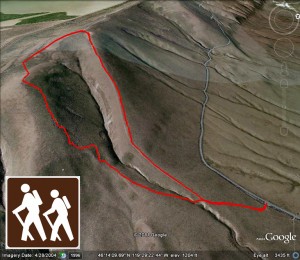
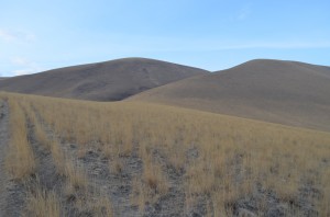
This is a difficult hike. From the trailhead along the McBee Hill Grade, you'll follow an old wagon path to the trail that seems to go almost straight up the ridge to the top of the hill. It took me about 25 minutes to the top at a fairly brisk pace. An alternative is to wander to the left and take the zig-zag trail up the face of the hill. I chose to make a loop by going up the ridge and down the switchbacks.
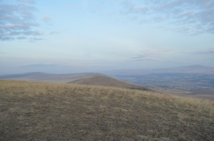
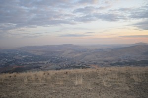
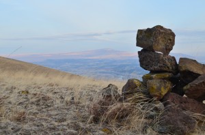
The view from the top is beautiful. You can see Benton City, Rattlesnake Mountain, the other mountains around the Tri-Cities and back up the lower Yakima Valley.
To the south, you can see the Horse Heaven wheat fields stretching for miles.
The trail is in good condition along the ridge but the switchbacks on the face of the hill are a little rough.


