Round Trip mileage: ~7.2 miles by route above
Difficulty: Easy to Difficult depending on route
Elevation: Along River: 328 feet, Highest Bluff on hike: 907 feet, Ascent of above hike: 2337 feet
Warning: Rattlesnakes have been spotted on this trail during warm, summer months.
View White Bluffs Trailhead in a larger map
Click here for a blog post about one of my hikes on this White Bluffs area
Directions to trailhead: From the Tri-Cities, take the Road 68 exit off I-182 in Pasco. Head north 2.4 miles on Road 68 which then veers slightly to the right at Douglas Fruit and turns into Taylor Flats Road. From that point, go 14 miles to the dead-end at Ringold Road. Turn left on Ringold Road and go 3 miles turn left on a road labeled Ringold, it quickly descends down to the Columbia River to a stop sign in .8 miles at Ringold River Road. Turn right (north), go 9 miles on Ringold River Road and park at the gate across the road.
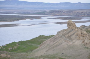
Hanford Reach National Monument Sandstone
This is a beautiful hike in a pristine area of the Hanford Reach National Monument. At the trailhead, you’ll find a sign by the opening in the gate indicating this is appropriate for hikers, bicyclists and equestrians.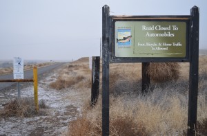 The reason I list this hike as “Easy to Difficult” is you can follow a number of different routes and get a great experience. The hike starts right near the famous “Wooden Power Lines” which cross the river at the old Hanford townsite which was forcefully evacuated in the 1940’s to make way for the Manhattan Project and the Hanford Nuclear Reservation construction to create nuclear materials for the first nuclear explosion (Trinity) and the atomic bomb which was dropped on Nagasaki to help end World War II.
The only visible relic of the old Hanford townsite is the burned out shell of the old Hanford High School. You can clearly see it across the river from the White Bluffs hike trailhead.
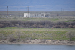
Old, Abandoned Hanford High School
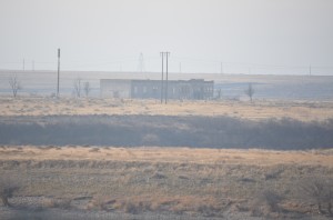 The easy hike follows the old, abandoned, paved road that runs along the river.
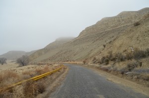 If you choose to go off the road,
it is easy to make this a more difficult hike and you will be rewarded with beautiful vistas and a likely view of some wildlife.
The more difficult routes can start by a cross-country trek to the river bank. Here you’ll find a smooth stone beach and interesting sights like this tree that has gathered debris in the river flow as the Columbia River level fluctuates. For an even more difficult adventure, the bluffs rise sharply on the east of the road. They rise over 600 feet from the river level and make for a steep climb.
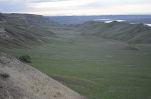
Green of spring valley along this White Bluffs hike
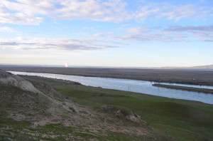
Columbia Generating Station nuclear plant steam plume, early morning along the Columbia River from White Bluffs
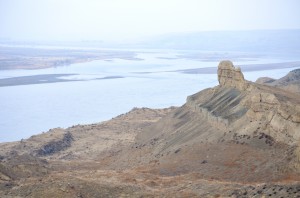
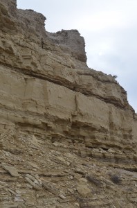
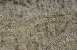
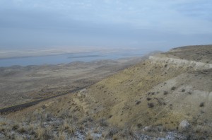 If you climb the bluffs, you will enjoy great views of erosion formations and sedimentary layers created over years leaving the unique beauty of the Hanford Reach National Monument.
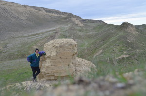
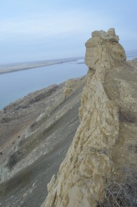
One of many sandstone sculptures along this hike on the Hanford Reach National Monument
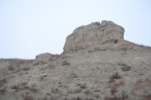
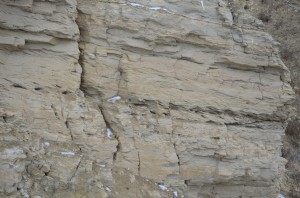
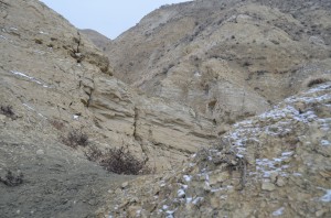 The views from the top of the bluffs are expansive with lower bluffs, the most often photographed representation of the monument,
Beautiful spring wildflowers bloom in the Hanford Reach National Monument.
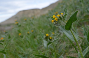
Fiddleneck Tarweed with early, vibrant yellow color
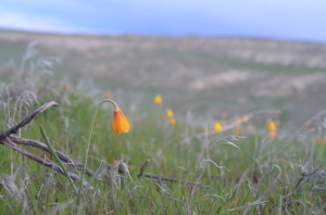
Beautiful Yellow Bells among the spring wildflowers on the Hanford Reach National Monument
colorful lichen on basalt and the winding Columbia River.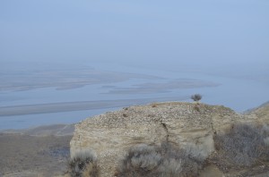
 You can walk the abandoned paved road to another entrance to the area which comes off Highway 24 from the north.
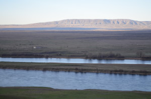
Rattlesnake Mountain from the bluffs with the Columbia River and Hanford Nuclear Reservation in the foreground
This location is about 4 miles into the hike and has a nice viewing area from atop the bluffs.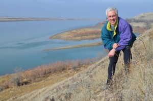
This is a wonderful hike with lots of potential wildlife sightings, minimal traffic and a wonderful glance at history.
Plenty of desert wildflowers will great you in the spring but be careful in the warmer seasons when rattlesnakes can be a hazard, especially since this area is fairly remote. Only a half hour or so drive from the Tri-Cities, the remote nature of this hike makes it quite appealing and you get a close-up view of the “White Bluffs” which you can see on a clear day from the top of Badger Mountain.


