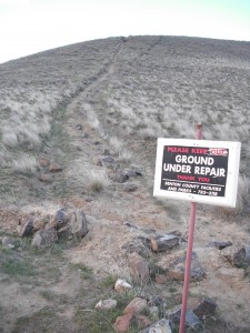
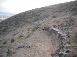
- Please note, this trail is newly updated with an alternate, easier and more gradual route!
- One-way mileage: 1.2 miles, 1.5 miles if you take the new route
- Difficulty: Easty to Moderate
- Elevation: Start 750 feet, Summit: 1543 feet, Total Ascent 836 feet
View Trailhead Park Map Use in a larger map
Both the Badger Mountain Canyon (I like to call it the Family Trail) and Sagebrush trails start at Trailhead Park. Trailhead Park is at 525 Queensgate Drive in Richland. From I-182, take the Queensgate exit heading south to the light at Keene Road. Turn west on Keene Road to the signal light at Shockley Road near the Bethel Church. Turn south and follow the road up the hill. It will veer left and turn into Queensgate, follow the road up the hill past the Westcliffe pillars to the park at the top of the road. There is a parking area at the corner of Queensgate and White Bluffs or you can park along the curb near the restrooms at the park. This can get a little congested in the summer when trail use is heavy.
This is the original official trail on Badger Mountain that was mapped out, improved and maintained by the Friends of Badger organization. This is probably the easiest way to get to the top of Badger Mountain.
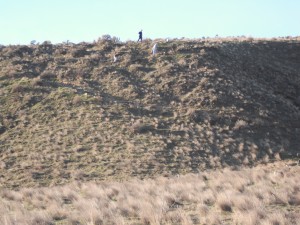
In 2018, the trail received a nice update which now allows hikers to bypass the steep stone stairs which climb, precipitously up the face of Badger Mountain just outside of Trailhead Park.
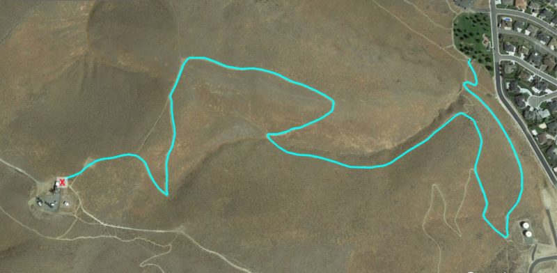
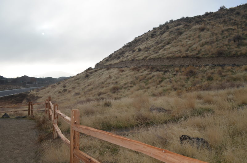
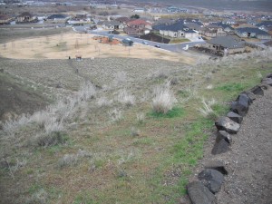
The bottom map above shows the new route. It gently climbs along the face of Badger Mountain.
-
The new route goes southeast, by two water storage tanks and meets up with the Sagebrush Trail then winds back to the north side of Badger Mountain and connects to the Canyon Trail to the top.
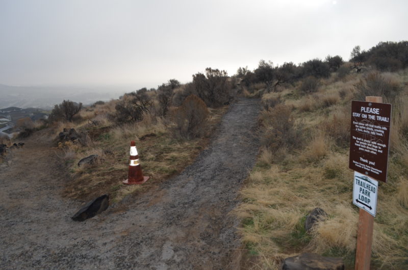
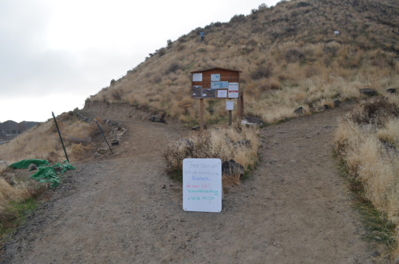
Point where the new route links back up with the old “stairs” route on the Badger Mountain Canyon Trail
The new route is more gradual so the hope is more people will feel comfortable getting on the trail and becoming more physically active. The new route is about .2 miles longer.
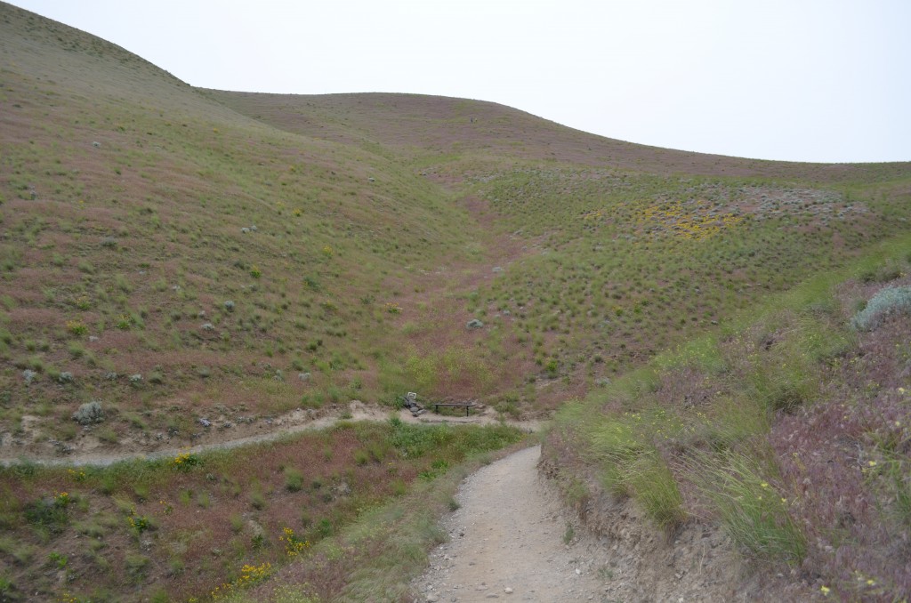
There is a nice resting point at the base of the draw with a bench. - The hike progresses up the west side of the draw to another ridge and a great vista of Richland and West Richland. As you head west on this ridge, you’ll pass the marker showing the level of “Lake Lewis” which covered this area after Lake Missoula burst and flooded Eastern Washington and created the Channeled Scablands of the Columbia Basin. Please make sure you stay left on the trail as a renegade route has been gouged on the hillside. Signs urge people to stay off the steep renegade trail.
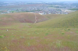
Follow the regular trail up the hillside, a few gradually inclined switchbacks and you’re on the top!
One nice feature of this trail is you can easily connect to the new “Sagebrush Trail” for a nice loop back to Trailhead Park.


