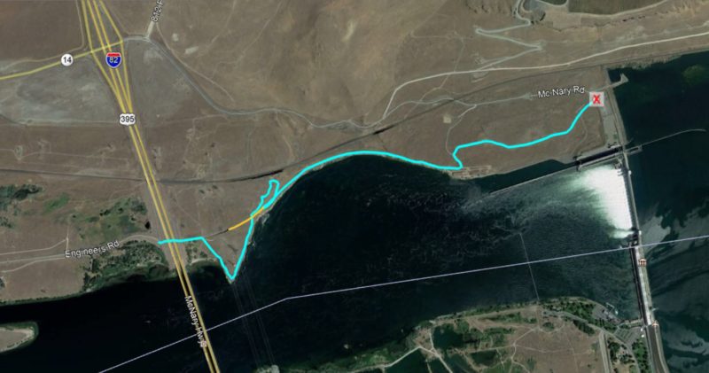
■Mileage: 4.7 miles round-trip, variable with side trails
■Difficulty: Moderate
◾Elevation: Gentle slopes, no significant elevation gain mainly around 300 feet above sea level
◾Warning: Rattlesnakes have been spotted on this trail during warm, summer months.
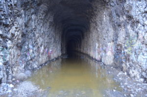
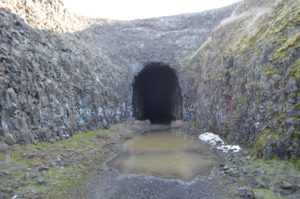
A bright flashlight/headlight is a must if you plan on going through the tunnel, it is dark and rocky and may have standing water.
Warning: Standing and running water, tall cliffs, use caution with children.
Directions to Trailhead:
Take Interstate 82 south from the Tri-Cities, heading toward Oregon. Before crossing the bridge into Oregon, take the exit for Highway 14 and Plymouth. Turn right at the stop sign and go about 3/4 of a mile west to the left turn to Plymouth. Go left into Plymouth and down the hill about 1/2 mile and turn left on Plymouth Road (it is called Engineers Rd. in the map above). Go about 1 mile to the dead end and park at the trail head tunnel.
This is a beautiful hike with the option of going through an abandoned railroad tunnel during warmer seasons.
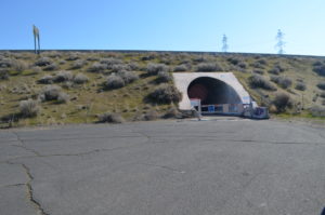
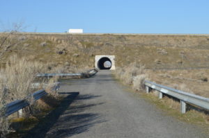
You park at a small turn-around area near the town of Plymouth, WA. There is a corrugated and paved 300′ tunnel which takes you underneath I-82 freeway.
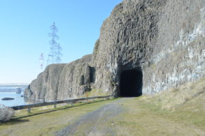
A few hundred yards down the trail, you encounter an abandoned railroad tunnel which is fairly long and dark (make sure you bring fresh flashlights or headlamps as the footing can be difficult and there may be standing water).
The other option, right as you come out of the freeway tunnel is to go to the right.
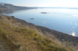
This takes you out to a “beach” area on the Columbia River. There are lots of bird sighting opportunities including Red Winged Blackbirds.
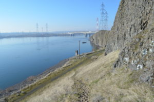
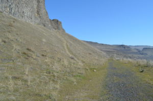
You can follow the trail along the shore and it takes you up a gentle climb along rocky terrain.
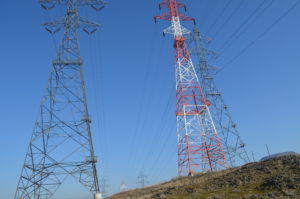
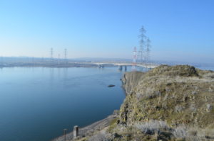
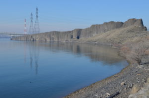
The trail goes underneath towering power lines.
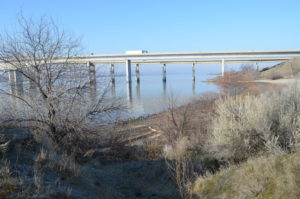
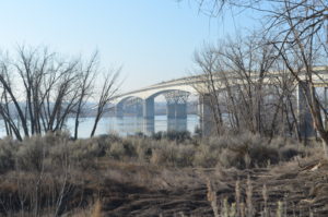
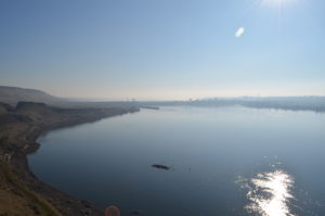
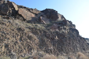
The climb continues and soon, you’re looking out over beautiful vistas of the Columbia River with the I-82 bridges nearby. As you continue, you’ll look over towering basalt cliffs that go down into the water.
You will continue on to a small trail that takes you down to the water. It is a soft, sandy trail so make sure you’re ready to get sand in your shoes or wear some good hiking boots.
This will bring you to the east entrance to the abandoned railroad tunnel.
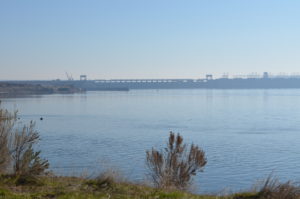
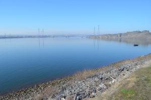
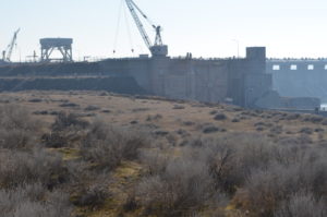
As you descend down along the dike which is along the river, you continue hiking toward McNary Dam. You have some great views of the dam as you hike along the mostly flat trail.
There is lots of driftwood along the rocky shore and you will probably see some fishermen in their boats below the dam.
If you are lucky, you may get to see the fascinating lock system as the dam as boats and barges are lifted up and brought down between the different water levels above and below the dam.
As you near the dam, you will have to go up a small road to avoid “no trespassing” government signs. Then, you head east again, toward the dam. You will eventually hit a paved road that will lead you up to a restroom and the McNary boat launch for boaters that want to launch above the dam.
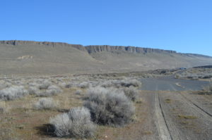
This is a beautiful hike with moderate difficulty, mainly because of the climb up the basalt incline and down the narrow trail along with the optional railroad tunnel route.
There are plenty of chances to see wildlife and the views of the Columbia River and Basalt cliffs are spectacular!


