- One-way mileage: 2.5 miles (this is the Orchard View Trail length, which does not have its own trailhead, it is a spur trail off the Skyline Trail on the west end and Sagebrush Trail on the east end. Add .5 miles to get to the trail from the Skyline Trailhead)
- Difficulty: Moderate
- Elevation: Start 750 feet, Summit: 1598 feet (If you go to the top of Badger Mountain, otherwise, elevation gain is minimal)
- Caution: This is snake country. Hike safely and responsibly during the summer months as snakes have been spotted on Badger Mountain. If you’re concerned about snake safety, read more about it by clicking here.
View Trailhead Park Map Use in a larger map
Both the Badger Canyon (Family) and Sagebrush trails, and the new Orchard View trails start at Trailhead Park. Trailhead Park is at 525 Queensgate Drive in Richland. From I-182, take the Queensgate exit heading south to the light at Keene Road. Turn west on Keene Road to the signal light at Shockley Road near the Bethel Church. Turn south and follow the road up the hill. It will veer left and turn into Queensgate, follow the road up the hill past the Westcliffe pillars to the park at the top of the road. There is a parking area at the corner of Queensgate and White Bluffs or you can park along the curb near the restrooms at the park. This can get a little congested in the summer when trail use is heavy. This is the newest trail on Badger Mountain. Created and maintained by Friends of Badger and many volunteers. It starts at Trailhead Park. Heading south up the hill, the first ascent is up a steep hill with steps and switchbacks.
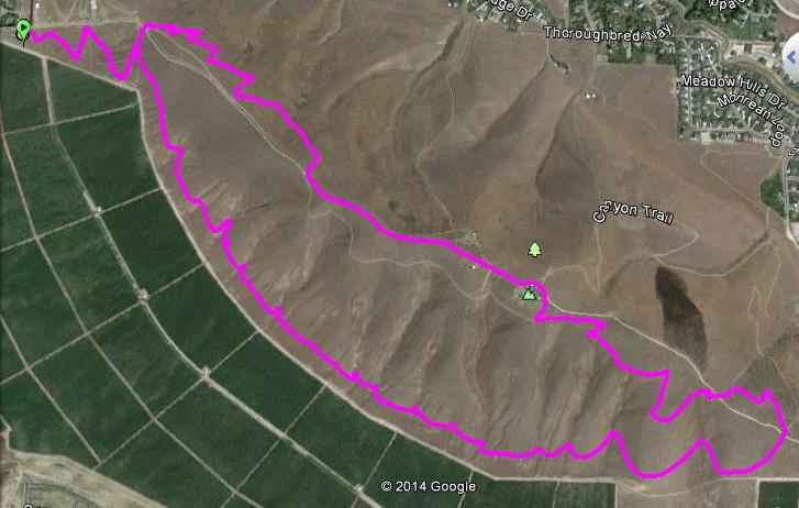
It is very exciting to have another hiking trail on Badger Mountain! This one does not have its own trailhead. You can access it from the Sagebrush Trail or the Skyline Trail. For the Sagebrush access, start at Trailhead Park (see directions and map above). Go up the steep steps. There is a fork in the trail at the top of the steps. Turn left (this is the Sagebrush Trail). Follow the Sagebrush Trail to another fork and turn right (this is the continuation of the Sagebrush Trail. You will hike through the tall, old-growth sagebrush and get to the ridge. You will then come to another fork in the trail, turn left and you are at the east end of the new Orchard View Trail. The trail follows the lower section of Badger Mountain and comes out to the Skyline Trail in about 2.5 miles.
To access the new Orchard View Trail from the Skyline Trailhead off Dallas Road, follow the directions to the Skyline Trailhead here. Then follow the Skyline Trail for approximately .5 miles. Watch for a trail which takes a sharp turn to the south, this is the west end of the Orchard View Trail. The trail follows the lower part of Badger Mountain for about 2.5 miles and meets up with the Sagebrush Trail.
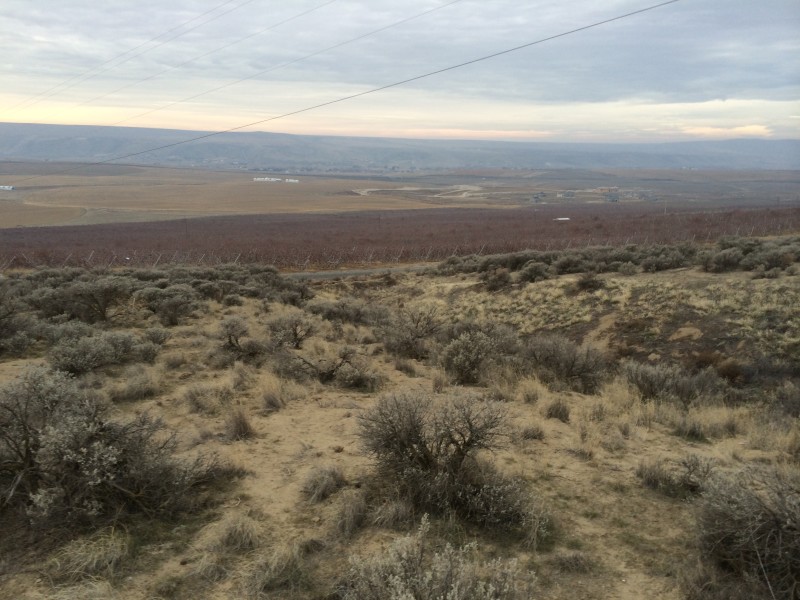
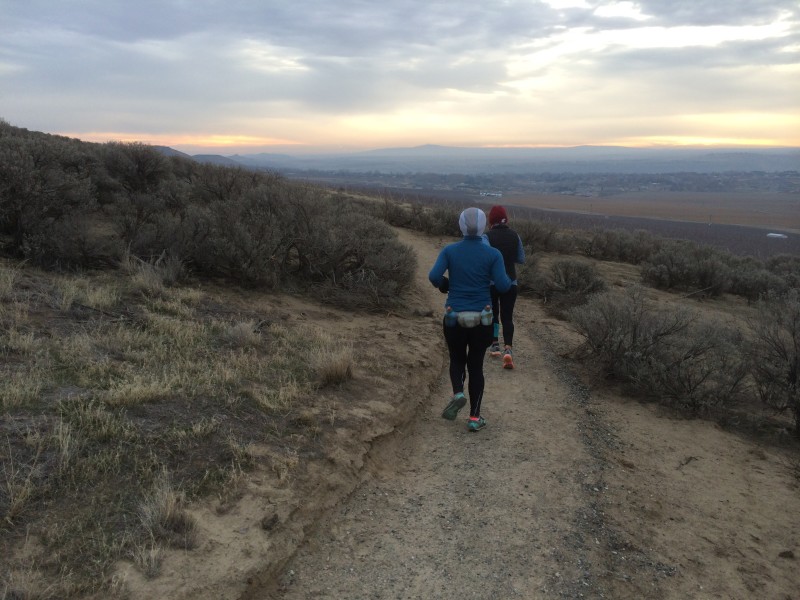
This is a wonderful new hike which features great flexibility. I imagine it will be tied into the new Badger Mountain South housing development but for now, it is a connecter trail between the Skyline and Sagebrush trails. The trail dips in and out of draws along the lower part of the mountain. There is very little elevation gain except at the beginning of the Skyline or Sagebrush trails to get to the Orchard View Trail. You’ll see lots of trails from wildlife. I saw coyote scat along the way, they appear to hang out in the orchards and in the draws. I must let you know that Orchard View Trail is not the official name of this trail but it certainly seems appropriate as there are hundreds of acres of apple orchards along the base of south Badger Mountain, just below the trail.

Hundreds of acres of apple orchards below the Orchard View Trail
When I first hiked this trail, I turned it into a loop. I started at the Skyline trailhead and then got on the Orchard View Trail. I followed the trail to the Sagebrush Trail and followed it to the top of Badger Mountain. I then hiked down the maintenance road where it met up with the Skyline Trail and followed it back down to my truck.
 This made for a 6 mile loop, it was a nice hike and a good workout. I saw several people on the new trail as it is already catching on in popularity.

