- Round-trip mileage: 20 miles
- Difficulty: Easy, paved trail, (2 bridges required on full loop)
- Elevation: Flat, no elevation gain, except over bridges
- Warning: Water along trail, watch small children closely, trail route is along road for a short time. Make sure to watch for traffic.
- Restrooms are located along this route in many locations: Columbia Point Marina Park in Richland, Chiawana Park in Pasco, Along the trail between the blue and cable bridges in Pasco, 3 along the trail in Columbia Park in Kennewick.
Directions to Trailhead:
Trail can be accessed from many different spots in Richland, Pasco and Kennewick.
- The best access in Kennewick is in Columbia Park or Clover Island. The trail winds through Columbia Park along the river accessible from the Columbia Center Boulevard exit or Edison Street exit off Highway 240. After exiting, head north to the river and the trail. Clover Island is accessed from downtown Kennewick off Columbia Drive. Take Washington Street north toward the river to Clover Island.
- The best way to access the trail in Pasco is at Chiawana Park or Wade Park. Wade Park is off West Sylvester Street, just turn south on Road 39 or Road 54 to the parking areas along the river and the trail. Chiawana Park is accessible off Court Street. Go south on Road 88 or Road 96 to the river and the trail.
- The best access in Richland is at Columbia Point. Coming into Richland on George Washington Way, take your first right on Columbia Point Drive. Follow road to the parking area at Columbia Point Marina Park near the base of the Columbia River twin bridges. Park your car and go under the bridges to the paved trail.
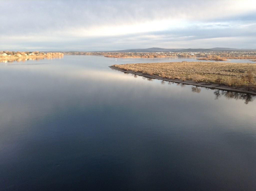
This trail is an awesome path that borders the Mighty Columbia River for most of its route. The views of the river, wildlife and other features along the way are a big highlight of the Tri-Cities.
You can access the trail at multiple places along the trail. For this narration, we’ll start at Columbia Point Marina Park and head north across the river to Pasco.
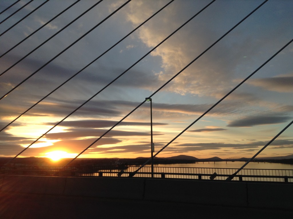
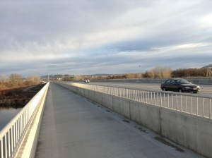
Go under the bridges after parking at Columbia Point Marina Park to the paved trail and go to the paved inclined path that goes over the bridge. The walking/biking path is separated from I-182 freeway traffic for your safety.
Once across the bridge, you will go down another incline to West Court Street. This is the longest stretch of this hike that is on a roadway. Hike on either side of Court Street, there is a large paved shoulder and traffic is minimal in this area so it is a fairly safe area. You will go east on Court Street about 1.25 miles and see the trail on the south side of the road with a grassy area. Follow the trail and soon, you’ll be walking along the river and through Chiawana Park.
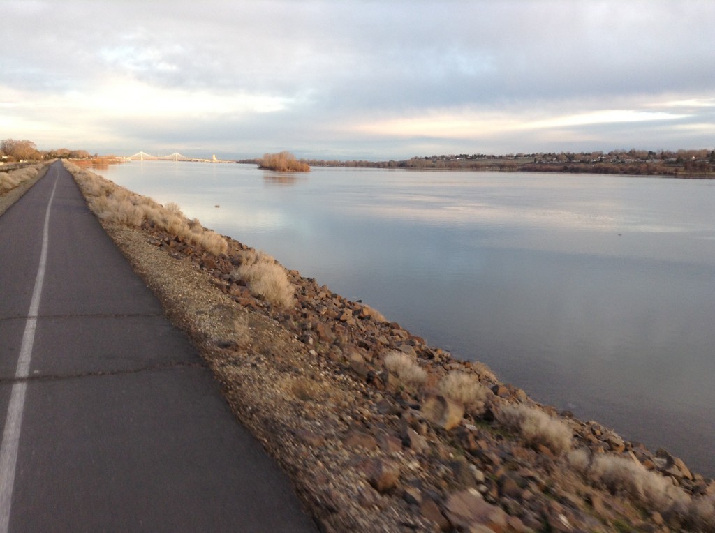
The path continues east along the top of the dike along the Columbia River.
About 2 miles east of Chiawana Park’s boat launch, you’ll come to the Wade Park boat launch. At this point, you’ll transition to a path through a gently sloping grassy area of Wade Park.
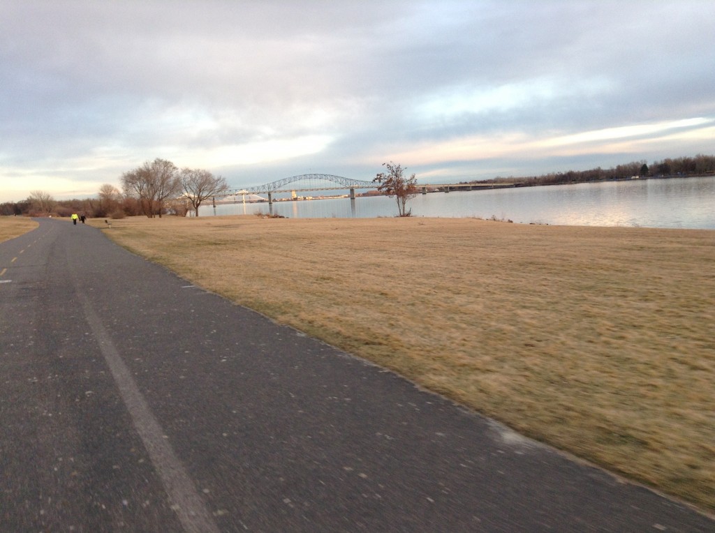
The wide path is mad to accommodate both hikers and bikers. This is a great place to plan a picnic rest point if you are making this a long day hike. The trail then goes back up on the top of the dike to the Blue Bridge.
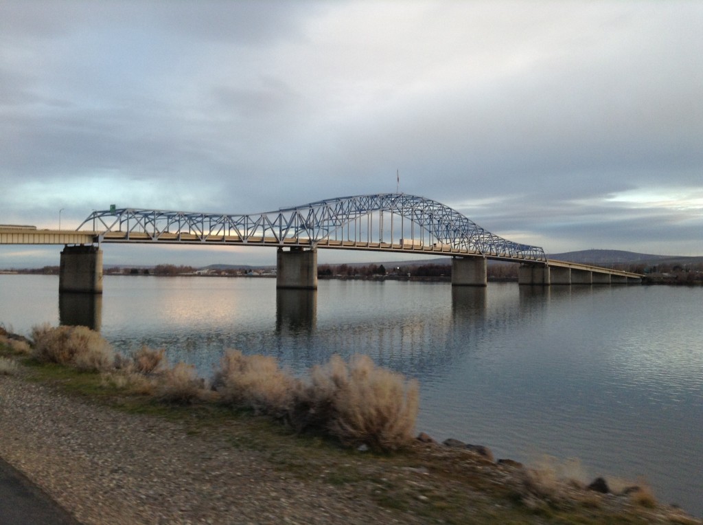
If you wish, you can take the side trail at the Blue Bridge and hike over the Blue Bridge to Columbia Park. Otherwise, continue on the trail toward the Cable Bridge, there is a restroom stop between the two bridges on the Pasco side of the river.
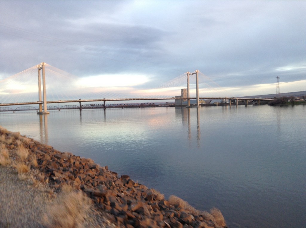
Once you get to the Cable Bridge, getting to the path over the bridge is a little tricky. Go east, under the bridge to a stop sign where the path crosses a road. Turn left on the road and hike (or bike) to the next cross road. Take another left and go a short distance to the next road and turn left across a small parking lot to the pathway over the Cable Bridge. This path is also separated from traffic for your safety.
On the Kennewick side of the Cable Bridge, go off the trail across the grass to the paved trail that again goes under the bridge and off to the west.
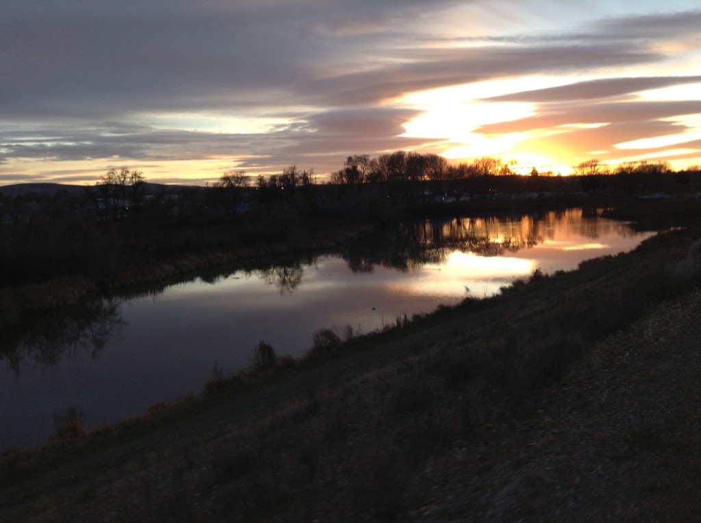
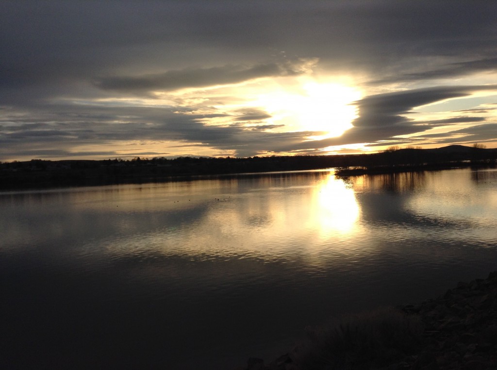
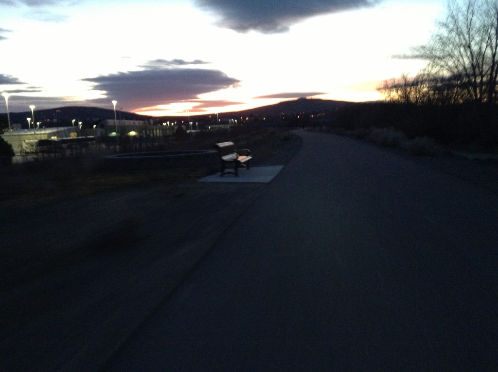
Duffy’s Pond at Sunset, the Port of Kennewick has Big Plans for Further Beautification and Utilization of This Area That has Been Overrun and Trashed for Decades.
As you head west, you’ll pass by the recently improved Duffy’s Pond, complete with a new basketball court and a grassy area.
The Port of Kennewick has ambitious plans for the Duffy’s Pond area complete with bridges, paths and natural improvements. Right now, the Port is tangled in a messy public records request and potential litigation over the way the port is managing the Vista Field property that is currently home to a small airport.
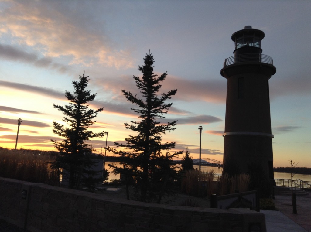
Back to our wonderful riverfront trail. Past Duffy’s pond is the road out to the man-made Clover Island. One nice side trip is to see the new Clover Island Lighthouse. It is an actual, working lighthouse.
There is a nice, winding concrete pathway to the lighthouse and there is a nice plaza area with some artwork on the island if you would like a place to rest on your journey.
The path continues along the river dike to the east end of Columbia Park. Here you’ll find a nice restroom facility. Just to the south of the restroom is a blue walking bridge that crosses a ditch, take the bridge and head toward the river to continue your travels.
Here you’ll find yourself on a gravelly paved closed road. You may not know but this is the pit area for the famous Water Follies hydroplane races that take place every summer on the Columbia River.
The trail continues on through Columbia Park . At the east end of Columbia Park, you’ll find the Playground of Dreams, a community sponsored and built wooden play area that is great fun. Also, there is the Family Fishing Pond. During the summer, there is a small splash park for people to cool off. Back to the trail, it winds through the grassy areas that border the Columbia River. For short distances, you’ll have to hike along the side of the road but traffic is light along here and the speed limit is fairly slow.
Near the Edison Street exit, there is a small duck pond that is constantly inhabited by domestic waterfowl. It’s a fun time for kids who might like the classic adventure of having a duck or goose nip at their fingers. Bring a bag of bread if that strikes your fancy.
Further west, is the Audobon Trail in Columbia Park. This is a paved pathway through some dense foliage that is home to a number of wildlife species including birds and deer. You can find out more at this link.
The trail through Columbia Park is about 4 miles long with several restrooms and lots of mature trees. This is a great place for a picnic or pit stop on your hike or bike ride.
At the west end of Columbia Park, is the Columbia Park Marina with a boat launch and dock and large parking area. Continuing on, the trail meanders up and down a few times and passes Bateman Island. This is another hike listed on hiketricities.com. Bateman Island is a great place for bird and wildlife watching. Click here for more on Bateman Island.
Following the paved trail, you’ll pass another boat launch. The trail goes past a backwater area where the Yakima River joins with the Columbia. One nice thing about this riverside trail is there are resting places all over the place with plenty of benches and tables for rest and relaxation.
As you continue west, you’ll come to the trail that rises up to the level of Highway 240 then drops back down. This part of the trail follows Highway 240 and you can’t really see the river but there are opportunities to see deer along this stretch. At one point, you’ll go over a large corrugate steel culvert that was put in place to facilitate wildlife movement along the river.
I spotted The deer in the picture above on one of my journeys along this section of the trail. After about a mile and a quarter paralleling Highway 240, you’ll cross a bridge over the Yakima River.
From the north side of the Yakima River Bridge, you can go back under the bridge and come out to a road that will take you to Aaron Drive in Richland or to the Chamna Natural Preserve, another great hike on hiketricities.com.
Otherwise, continue on the pathway that parallels Interstate 182 back to the bridges over the Columbia River where you started!
This is a great trail that is easily covered in a few leisurely hours on a bicycle or several hours by foot with lots to see and enjoy.


