Round-trip mileage: 3.25 miles
Difficulty: Easy, paved trail
Elevation: Flat, no elevation gain
Warning: Water along trail, watch small children closely, trail crosses roads in several places. Make sure to use crosswalks and obey signals.
There is no official trailhead for this route. You can pick it up at any point along the path. One suggestion would be at the lower parking lot for Richland High School at Fran Rish Stadium. Another potential point is at the Richland Community Center and third idea is at the north end of Howard Amon Park near the boat launch.
This is a relatively new official route that had some recent improvements thanks to city and private funding. It is a 3 mile paved loop that winds through the downtown Richland area and along the Columbia River and through some hidden natural areas that many locals don’t even know exist.
The City of Richland describes this trail in the Central Business Development zone in city records: An ongoing program to complete the vision of the Barney & Worth Urban Design Plan to provide pedestrian connections to and through the CBD (Central Business District). The greenbelt includes the Marjorie Sutch Greenway, Howard Amon Park Riverfront trail, and the Gillespie Parkway
.
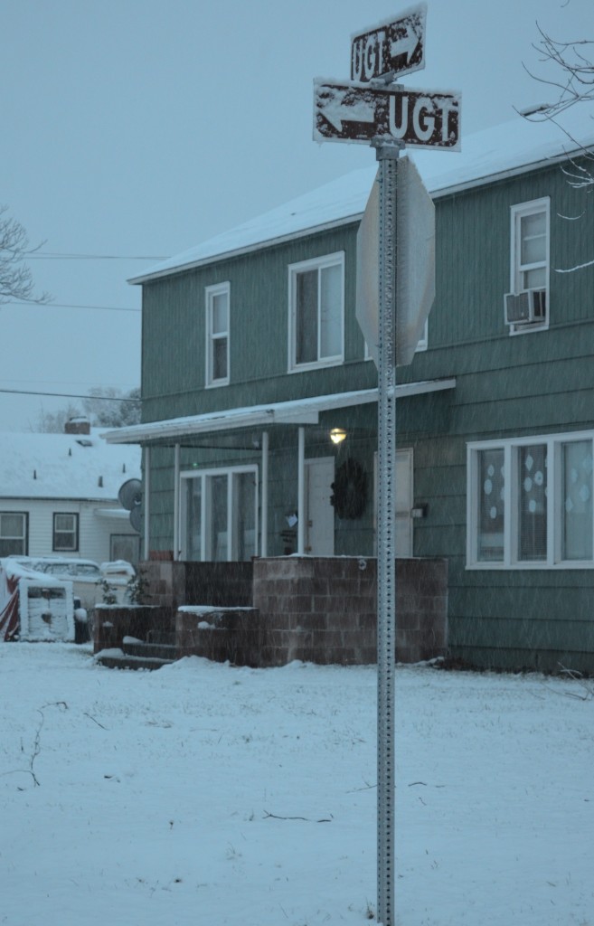
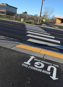
There are some signs and markings along the Urban Greenbelt Trail that help keep you on track.
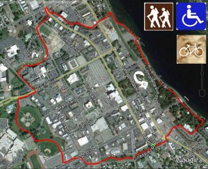
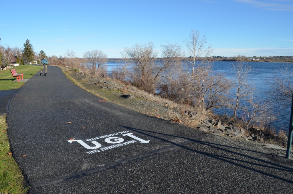
Painted markings also point the way but it is good to either review the route before you go or print the map above so you don’t get off track.
I started my first trip on this trail at the corner of Gillespie and Jadwin, just at the east end of the Gillespie Parkway that has a winding cement trail. I headed east to the crosswalk across George Washington Way then along the side of the street to the stairway just south of the CREHST Museum.
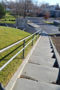
This stairway is difficult to maneuver on a bicycle and impossible for wheelchair use. I did mark this trail as suitable for both bikes & handicapped as you can go north from the CREHST Museum and go to Lee Boulevard where you can go east to the Riverfront Trail.
If you go down the stairs (I walked my bike down), you cross a street to the Richland Community Center sidewalk. Continue south on the sidewalk to the walkway just south of the community center and head toward the river and the Riverfront Trail.
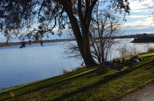
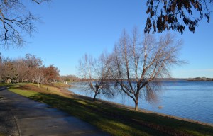
As you follow the trail north, you’ll be going through Howard Amon Park.
Howard Amon Park is one of the premier parks of Richland with extensive, modern children’s playgrounds, kiddie splash pool, picnic tables and shelters, 1 swimming dock, 2 boat docks and a no-fee boat launch with lots of parking. Howard Amon Park hosts several events throughout the year including Ye Merrie Greenwood Renaissance Faire and Art in the Park.
As you head north from Howard Amon Park, you will go up a slight incline with railing on the river side of the path. At the top of the incline, you will be on a large dike, turn left to follow the UGT and go past an abandoned construction site with failed, grandiose plans for tall condos with a river view that never came to fruition. Presumably bankrupt developers have left us with an eyesore, a fenced-in collection of protruding rebar and overgrown weeds (can you tell I’m a little bitter about this!).
You will come to a crosswalk on busy George Washington Way, a main thoroughfare through Richland.
Use caution, there are signal flags you can carry with you to increase your visibility and make your crossing safer.
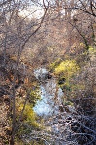
As soon as you cross the street, you will be on a newly improved section of the UGT. This segment begins an area that few locals know about. It is part of the Marjorie Sutch Greenway. It is a waterway that winds through central Richland with birds galore.
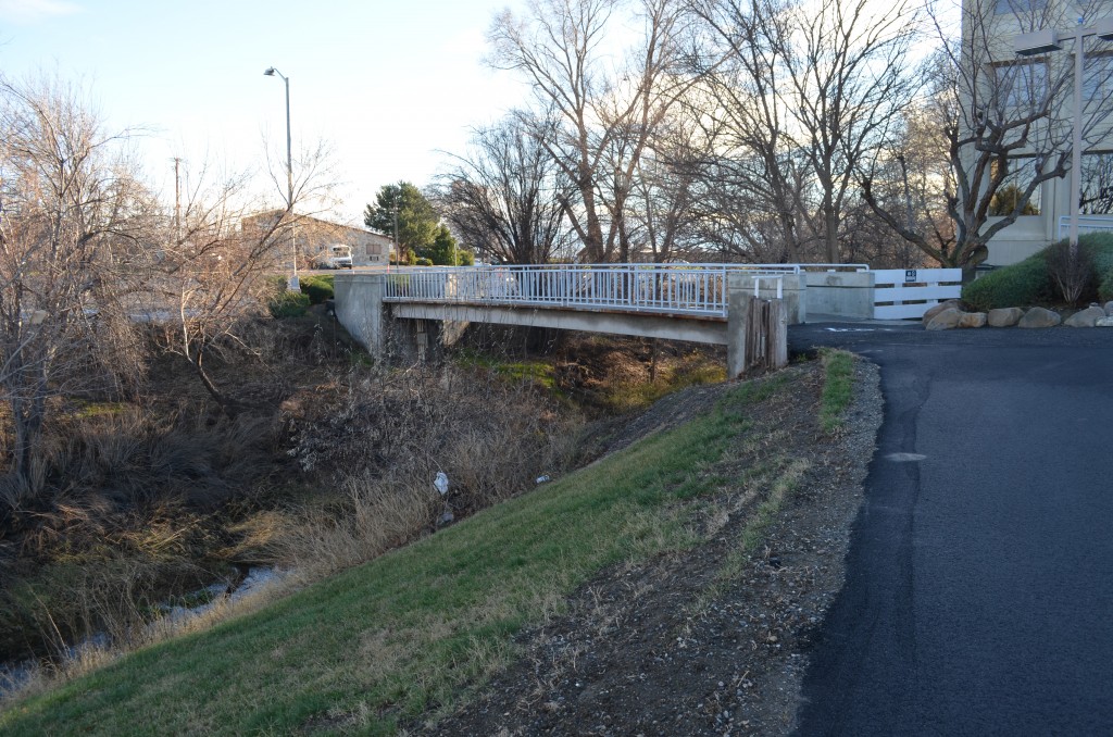
The trail crosses a bridge and some of the waterway is underground.
This section of the UGT ends on a sidewalk, you have to go north to the intersection of Jadwin and Williams and cross to the west. Once across, go south from the Jiffy Lube and re-enter the path just north of Banner Bank that continues along the Marjorie Sutch Greenway segment of the UGT.
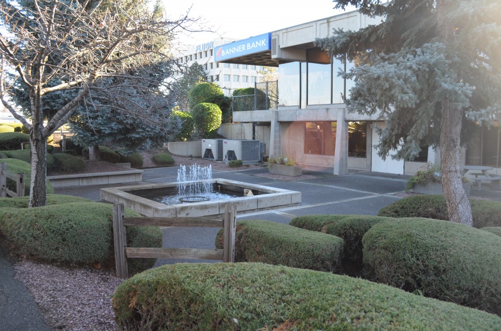
There is a nice quiet plaza by Banner Bank with a fountain. Continue on the paved trail to the outlet on Gribble Street. Turn left on Goethals and travel along the street to the helicopter landing pad beside Kadlec Regional Medical Center.
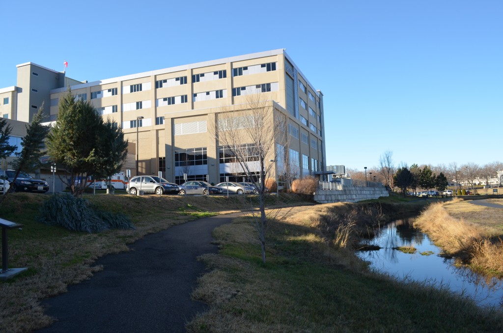
The trail continues behind the helicopter pad. Kadlec has spend quite a bit of money, time and resources to improve this area that is part of the Marjorie Sutch Greenway and is also known as Sutch Park.
This section is a good place for a rest or to have a snack. In the right season, you’ll see wetland birds and other critters enjoying the waterway. It is a quiet, peaceful place in the middle of the city.
As you follow the patch, you’ll reach Stevens Drive. Continue south on the sidewalk, past Kadlec then cross on the crosswalk and cross the street to the west toward George Prout Pool.
Behind George Prout Pool, you have to make a choice as to the east or west path through the Columbia Playfield. Watch for the UGT logo painted on the path so you don’t lose your way. The distance is about the same on either path and you end up at the end of the outfield fence for the Richland High baseball field.
Continue on to Lee Blvd, then turn left (east) on the sidewalk to cross at Rite-Aid.
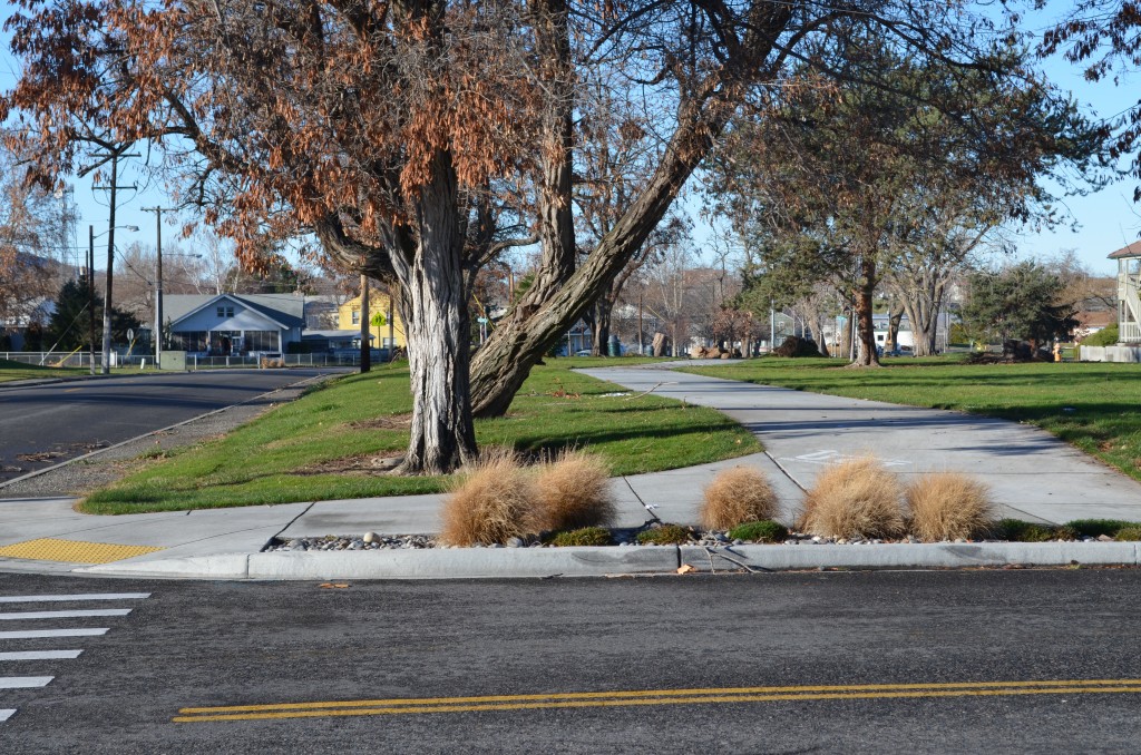
As you walk along Stevens turns into Gillespie and the Gillespie Parkway comes into view with its winding sidewalk through 3 acres of grass and you’ve made a complete tour of the Urban Greenbelt Tour (UGT).


