- Round-trip mileage: ~6.5 miles (variable with no specific trail established)
- Difficulty: Difficult, variable terrain with lots of cross country scurrying. I recommend you wear sturdy hiking boots and long pants as the vegetation can be very harsh, in places. Ultimately, I would recommend gators as your socks and boots can end up caked with cheat grass and other weeds.
- Elevation: Start 1310 feet, Overlook: 980 feet, Total Ascent 1880 feet (round trip).
- Warning: hunters use this area during hunting season which starts in October. Watch for and respect private property and no trespassing signs. Hike with caution wearing hunter orange for visibility during this time.
- Warning: Rattlesnakes have been spotted in this area during warm, summer months.
- Also: steep cliffs line this hike with loose rocks.
View Wallula Gap trailhead in a larger map
The trailhead is east of Kennewick, past Finley. One of the easiest ways to get to the trailhead I used is taking highway 397 exit off I-82 (the newer Finley Intertie). Go east for about 10.4 miles to an overpass where you’ll turn right on Piert Road. You can also get to this point by taking Chemical Drive south from Kennewick’s Columbia Drive (basically the base of the cable bridge in Kennewick). Take Chemical Drive (also known as Gum Street and Highway 397) south to Finley. Stay on this main road for about 7 miles, you will make a sharp turn to the right and pass Sandvik Special Metals plant on the left. Continue over the overpass and take a left on Piert Road.
Stay on Piert Road for about .7 miles where Piert goes to the right, stay to the left onto Toothaker Road. In 1.3 miles, Toothaker goes to the left, stay to the right where the main road turns into Meals Road. You’ll pass Hover Road in about a mile (don’t turn here, keep going straight.) 2 miles more and you’ll gain elevation and crest the ridge top and reach Ayers Road. Continue straight on Meals Rd. You’ll stay on pavement on Meals road. When you hit the gravel, park in pull-out area on east side of the road, this is the “trail head”.
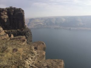
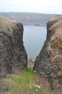
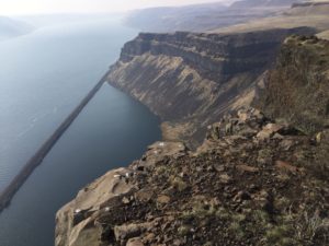
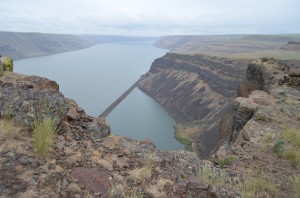
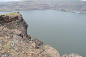
The Wallula Gap Hike is a very satisfying journey, especially when you get to the top and look down over the 1100 foot high cliff to the Columbia River. The view here is spectacular as you look upriver to the Tri-Cities and south into Oregon.
The Hike
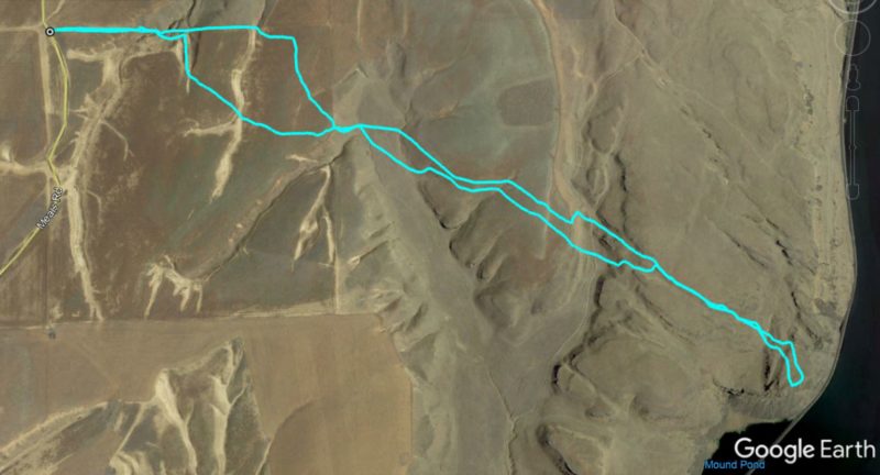
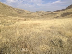
From the parking pullout, Follow the fence line to the east. If you look east from the parking area, you can see a couple of communication towers. Your path is basically straight east, toward those communication towers. You will zig-zag a bit as you have to go up and down through beautiful valleys and hills.
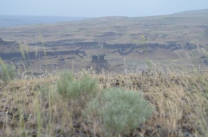
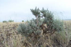
There is also significant vegetation to deal with and some fence lines to cross. If having no set trails makes you nervous, remember you have the river bordering one side so you should be able to use this landmark to help you navigate.
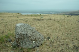
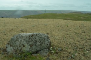
Continue east, you’ll find some miscellaneous trails along the way but the key is to keep working your way eastward. You will reach a couple ridgetops. You may see the communication towers at various points of the hike, the overlook you are heading for is to the south of the towers so veer to the south as you get closer. Along the way, you may find erratics which looks out of place as granite deposited on top of a field of basalt. You can read more that I’ve written about erratics and how they got here and the Wallula Gap by clicking here.
This large, granite boulder is believed to have been deposited during ice-age floods which broke loose from Lake Missoula, flooding this area with “Lake Lewis” and gouging out the “Channeled Scablands” which give us most of our area’s geologic wonders and created such a rich beauty which particularly benefits those of us who love to hike. Without much more detail, I have a link on hiketricities.com which goes into much more detail on the floods and channeled scablands if you’d like more information.
From the erratic (or from wherever you can see the communications tower), head to the tower which is close to the edge of the cliff .
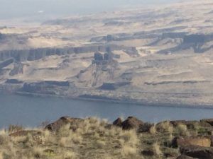
As you get closer to the cliffs, you can look across the river to a beautiful geologic feature, Twin Sisters basalt columns.
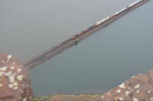
The overlook is rather fantastic! Once you get there, you’ll know it. This is the highest point around 1194 feet and the sheer drop-off can be a bit scary. A highway runs on the opposite side of the river and railroad tracks run on both sides.
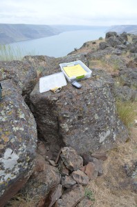
While you’re at the Wallula Gap Overlook, you might want to do a little geocaching (click here if you are thinking, what the heck is geocaching?) I loaded the Wallula Gap geocache on my GPS before setting out and located it without too much difficulty. This geocache was placed by Bruce Bjornstad who included a nice, laminated explanation of the geologic formation of this area along with an extensive logbook of many visitors. Bruce is an expert on the formation of the “Channeled Scablands” and has even written a book about it called On the Trail of the Ice Age Floods.
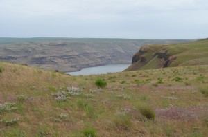
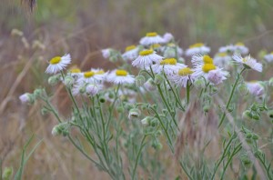
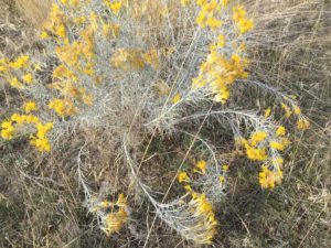
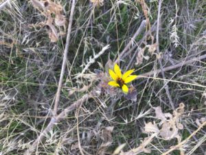
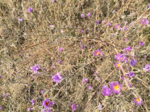
Spring is a wonderful time to enjoy this hike, it took me about 3.5 hours for a 6.4 mile round-trip but I was stopping for pictures and sight-seeing and GPS stuff. Make sure you stop to enjoy the beautiful flowers along the way, there’s wildlife to be seen too.
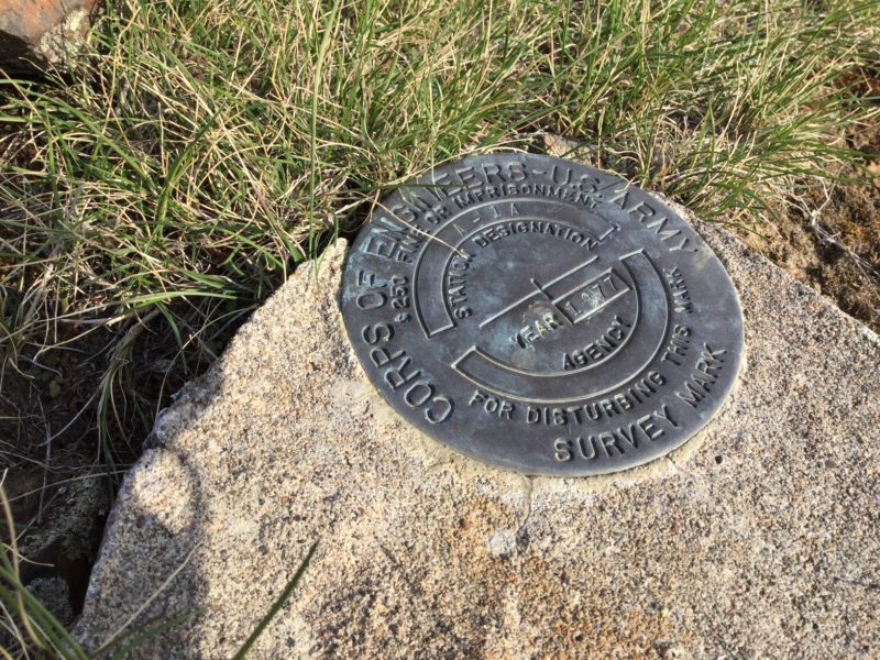
One wonderful thing about this hike is that traffic is very light. There is no specific trail to the overlook so you’ll need to do some cross-country trekking. A GPS or at least a compass would be helpful as you follow these instructions. Also, along the way to or from the overlook, you may find this geologic marker. Enjoy the hike!