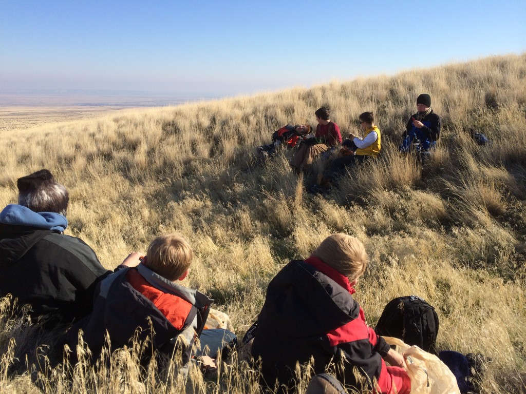
What a pleasure to hike the Rattlesnake Wildlife Preserve with the Boy Scouts from Troop 290 from West Richland this beautiful day!
This was an awesome hike, we covered 9.5 miles. Our moving time was about 3 and a half hours and we climbed about 1885 feet. You can see our path on these GPS overlays on Google Earth images.
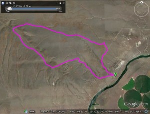
Path from directly overhead
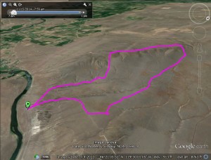
Path shown at angle to show mountain elevation
It was chilly and the wind even cooled us off a bit more but we bundled up in layers and headed for the trailhead along the highway near Benton City. Click here for more on directions to the trailhead, maps, and more details on this hike.
We also talked about Erratics on this hike, you can learn more about those on this link here on hiketricities.com. Also, we talked about the Channeled Scablands and Ice Age Floods, you can learn more at this link here on hiketricities.com
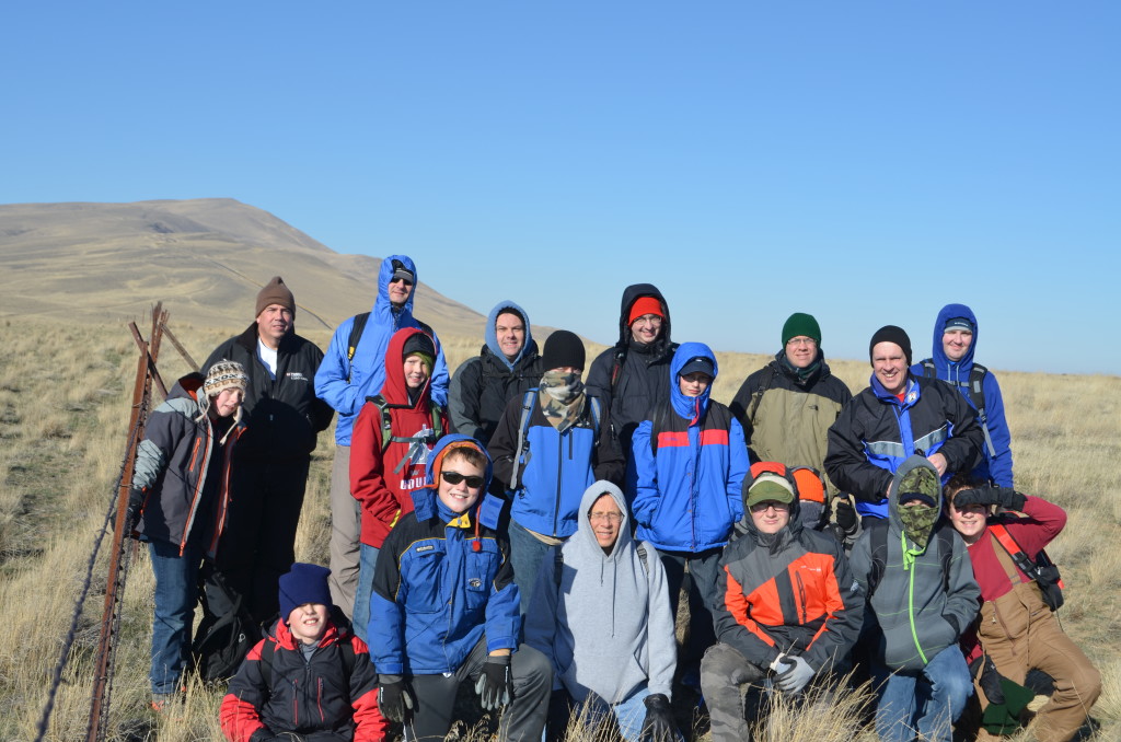
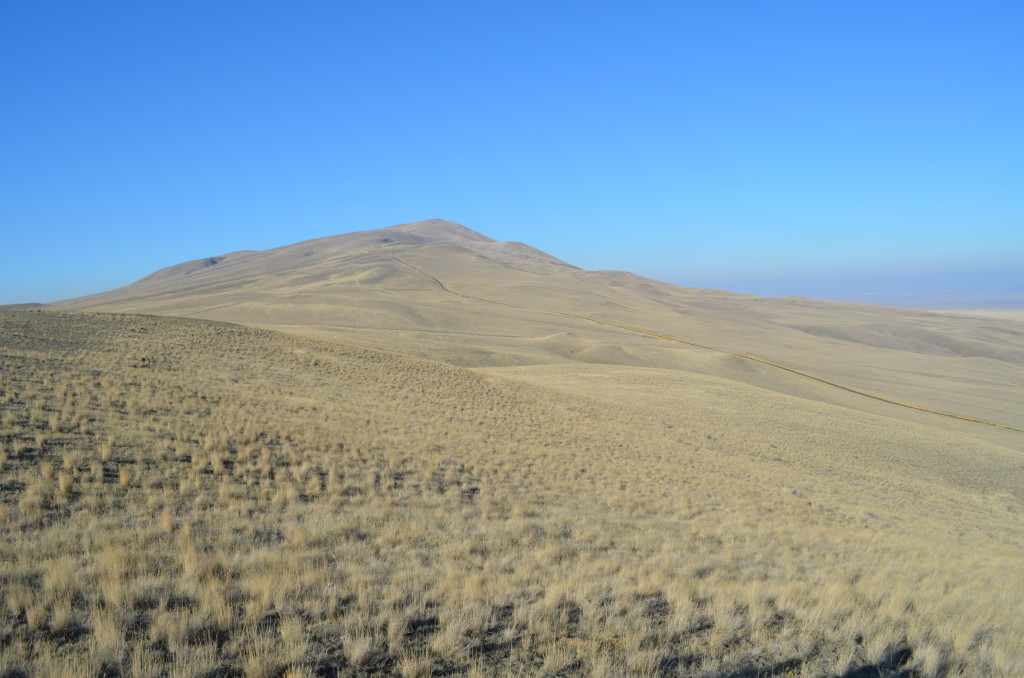
We started hiking around 8 a.m from the trailhead. We quickly climbed up on the bluff and headed for the steep trail along the fence line to the ridge on the east end of Rattlesnake Mountain. It was a steep climb up to the top of the ridge which was at about 2000 feet elevation (our trailhead was at about 450 feet elevation). We got this great group picture on the top with Rattlesnake Mountain in the background. We also saw Mount Adams from the top but it was kind of hazy so it wouldn’t show up too well in a picture.
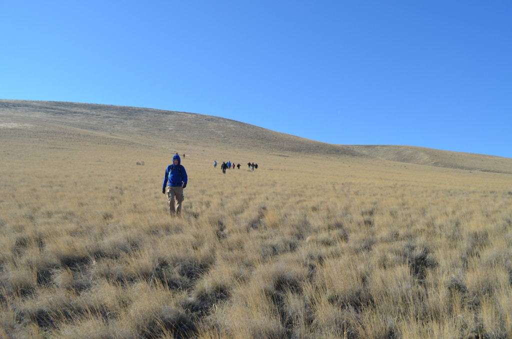
We headed west on the ridge to we were nearly in the restricted area then headed down the mountain to the flat land. I recorded a podcast during our journey on honesty and integrity. Thanks to some of the scouts for their thoughts on the subject. I’ll have that episode posted at hikehealthy.com in a few weeks after some other episodes are posted.
We had some pretty heavy wind up on the hill and on our way back down. The ambient temperature was about 18 degrees and it was quite a bit chillier with the wind chill factor. We got back on the flat land and found a gulley to take cover in and eat our lunch.
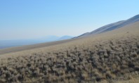
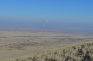
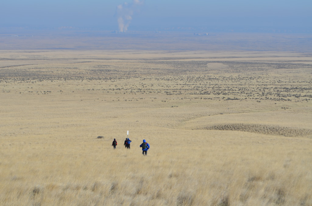
We had some great vistas on this hike, there was some fog which obscured our view a little bit.
We headed south back toward the trailhead. We were hoping to get to the large erratic near the power lines but we ran out of time. We followed the power line road back to a draw where we went down to the trailhead level and headed back to our cars.
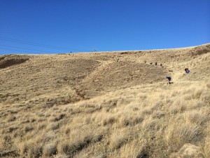
On our way back to the trailhead (click to enlarge)

