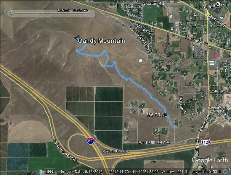
- One-way mileage: 1.6 miles
- Approved for use by foot traffic, bicyclists, and horses
- Difficulty: Easy to Moderate
- Elevation: Start 840 feet, Summit: 1385 feet, Total Ascent 538 feet.
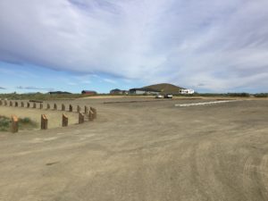
Wow! What an awesome trail! This is thanks, in a large part to the Friends of Badger Mountain. The Friends of Badger Mountain worked with landowners, Benton County and public/company donors to raise money to purchase land for this new trail. The trail is now officially open as Benton County has built a parking lot. To get to the new trailhead parking lot, take Dallas Road from the roundabout in West Richland at the intersection of Bombing Range Road and Keene Road. Go south on Dallas Road until just before you drive under the I-182 overpass bridge. Turn right (west) on 669 PRNE road and go a couple hundred yards and you’ll see this parking lot on your right! Just park and take the trail which runs right off the northwest side of the parking area. Alternatively, if you come from Kennewick or elsewhere, take the Dallas Road exit off Interstate 82. Go north on Dallas Road until you pass under the I-182 overpass bridge. Take a quick left on 669 PRNE road and go a couple hundred yards to the parking lot on your right.
The trail begins in a rural neighborhood, not far from the Dallas Road trailhead of the Skyline and Langdon (Orchard View) trails. It will be very important for hikers to stay on the trail as there are several homes in the area of the parking lot and we want to be good neighbors with no litter, noise, and practicing courtesy.
You see the difficulty of this trail is labeled as “easy to moderate”. That is one of the spectacular features of the Summit trail. The first 3/4 miles of the trail is fairly flat with some rolling hills and very little elevation gain.
This part of the trail meanders through some fragrant sagebrush with a nice view of West Richland to the north. This section will be perfect for the person who is just hoping to get into shape gradually. You can start with the flat part and work your way up the hill as your endurance grows.
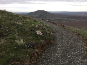
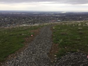
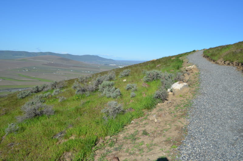
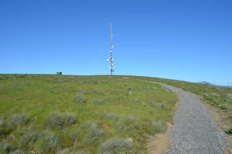
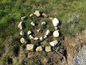
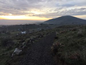
After the first 3/4 miles, the trail starts to climb up the east end of Candy Mountain. All along the trail, you’ll see rocks and boulders piled up along the trail, a testament to the hard work volunteers put in to help build this trail. The whole trail is in really good shape with packed gravel bed. As the trail climbs up Candy Mountain, you will hike mainly on the southeast side.
There are a few switchbacks which help keep the incline gradual. There are a few side trails leftover from Candy Mountain’s rough days, please try to stay off these rabbit trails and on the graveled trail to help with reforestation.
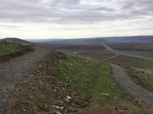
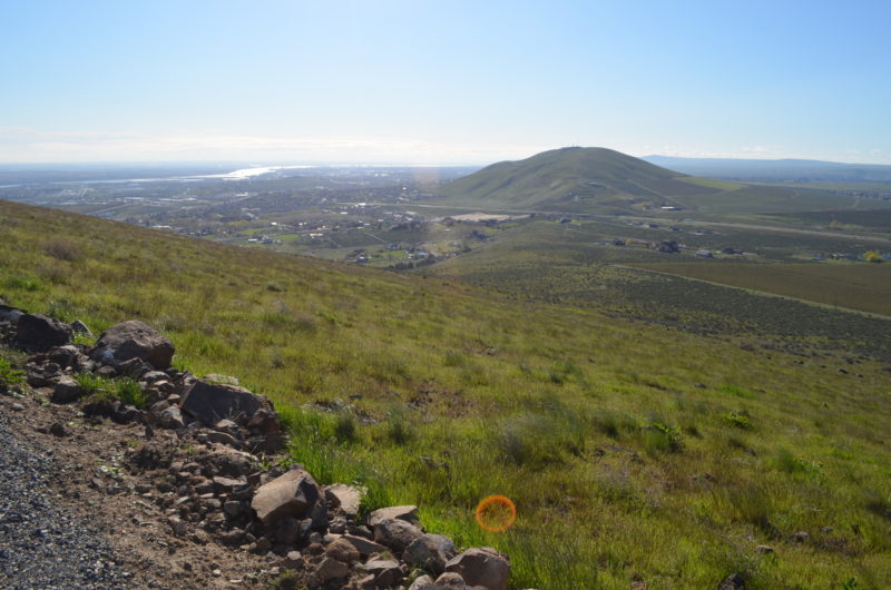
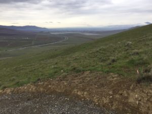
As you climb the mountain, you’ll have a great view down into Badger Canyon. To the east is a great vista of Badger Mountain and the Skyline Trail. You can also see west to Goose Hill and south to the Horse Heaven Hills. You’ll also cross a couple of access roads along your way. Again, try to stick to the main trail and avoid shortcuts.
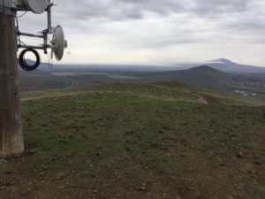
As you round the north side of Candy Mountain, you’ll arrive at the summit.
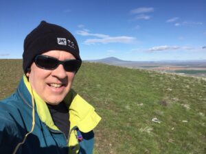
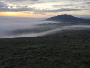
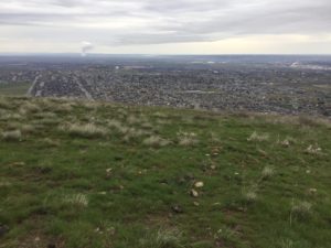
A great view awaits you with the 500 plus square mile Hanford Nuclear Reservation to the north. Columbia Generating Station nuclear power plant and West Richland, including Flattop Hill. Looking to the west, you can see the lower Yakima Valley and Mount Adams is visible on the horizon on clear days.
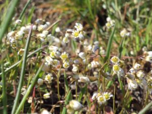
This is a really enjoyable hike and it offers some great vistas, super spring wildflower bloom, and the ongoing support of Benton County and the Friends of Badger Mountain for trail upkeep and improvements.
I imagine it will not be quite as popular as Badger Mountain but, it will probably be the second most popular hiking area in the Columbia Basin, right behind Badger.


