By popular demand, I decided to seek out a new hike today.
Details and Directions for this hike
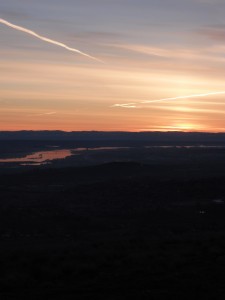
I found a nice trailhead yesterday. I got up and checked the GPS. I hoped there was time to get to the top for a nice sunrise view. It was a chilly morning so I bundled up. I put in my earbud for a little hiking and learning. I reset the GPS, packed my pockets with cameras, phone, keys and hit the trail. The trail is a well-established jeep road that runs along the east spine of Candy Mountain. As I quickly gained elevation, I knew the sunrise was chasing me but I kept looking over my shoulder hoping I would get to the summit before the sliver of bright light appeared. It only took about 15 minutes to get to the top as I surveyed the view along the way. As I reached the top, the east horizon was glowing but the sun was yet to peak over the edge. I took a few pictures of the pinkish-orange sky. There was frost all over the ground cover, only a few high clouds in the sky.
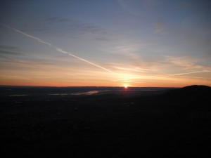
Finally, the sun quickly broke the horizon and flooded the Columbia Basin.
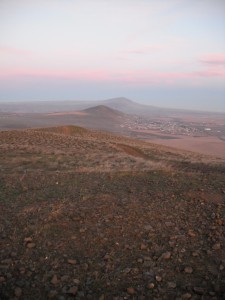
The pinkish-orange glow appeared everywhere as the filter of the extra atmosphere the light had to travel through cast a colorful hue over the area. I was excited to see Mt. Adams to the west and the very tip of Mount Rainier. At the rocky summit, I could see that a trail led down the west side of the mountain, another adventure on another day. On my way back down, I found a nice single-track trail that took me most of the way back to my vehicle. Another beautiful sunrise over the Columbia Basin!


