Okay, so I was a little sore the next day after the straight up option conquering McBee Hill outside Benton City. A friend said there was a more gradual way to the top so I mapped it out today! 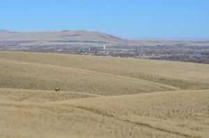
I was still along the flat, heading east when a horseman rode by, galloping pretty quickly. I got the camera out in time to get a shot with Benton City in the background.
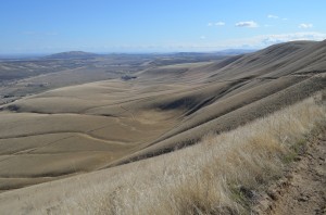
It was a cool morning but not cold. I bundled up, plugged in Hiking University and hiked with purpose, quickly working up some body heat. I went cross country until I came across a trail and followed the horse prints up to a trail that was carved out of the face of the Horse Heaven Hills and followed that to the top. It was a clear day so the views were very nice.
There were some beautiful scattered, high clouds dotting the blue skies. As the sun dodged between the clouds, the temperature started warming up.
At the top, the view to the south was great as the wheatfields stretched for miles waiting for the crops to burst through the soil.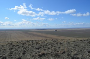
Up on the top, I headed west to take the steep trail back down. I think my legs will still remind me of the descent tomorrow.  There was a nice view of Benton City.
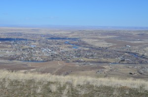 A beautiful hike on a beautiful day! Looking forward to spring hikes and wildflower blooms!


If you keep hiking along the ridge line, you’ll eventually run into McBee at the top, which you can then hike down. Hiking down the road isn’t exactly the best but it gives you a round trip ~7.5 miles.
That sounds like a great way to add a few miles!