Round-trip mileage: 1.5 miles
Difficulty: Easy
Elevation: 520 ft. above sea level, no elevation gain
Warning: Ponds of water along trail, watch children closely
View Lakes Park Trailhead in a larger map
Directions to trailhead:
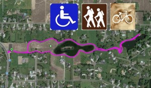
The trailhead main entrance is along the east side of Bombing Range Road in West Richland. From I-82, take the Dallas Road exit and head north approximately 3.75 miles. After you continue straight through the round-a-bout, the parking area is about a half mile north on the right. From Keene Road, turn north on Bombing Range Road at the round-a-bout and go one-half mile to the parking area on the right. From Van Giesen, travel to West Richland and turn south on Bombing Range Road to drive up the hill. Go approximately 2.3 miles on Bombing Range to the parking area on the left.
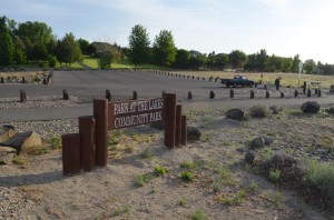 This is a delightful hike of about a mile and a half round-trip. It is nestled in an upscale, West Richland community known as “The Lakes”.
Click here for a blog posting on this hike
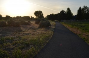
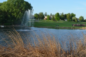
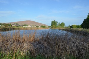
There are actually two man-made lakes and a dug out area for a third lake that never became a reality. The hike is actually a paved trail which makes it great for handicapped access or strollers.
The trail winds around the lakes, bordered by nicely manicured lawns and pastures. With the lakes, this area is filled with bird life. cattail are home to many species like red-winged blackbirds.
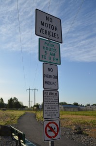
The hiking path has two other access points from streets along the neighborhood but the parking area off Bombing Range Road is the best access with plenty of parking spot. Pets and their owners are welcome.
A bonus of this hike are the vistas along the way. You can see Candy Mountain, Red Mountain and Badger Mountain at various locations along the trail.
This is a beautiful hike and it is nice and quiet. A draw-back for some might be the suburban feel of the asphalt and lawns but the accessibility is hard to beat.


